Most drone failures don’t start in the air. They start on the ground, in the five minutes of inspection that someone decided to skip.
A loose propeller. A battery that swelled slightly since las
A drone survey costs $500 to $4,000 for a small site, $4,000 to $15,000 for a mid-sized project, and $15,000 to $60,000 for a large one. Above roughly 1,000 acres, providers usually quote per acre instead, from about $5 for basic mapping to $110 for dense LiDAR.
Those ranges are wide because drone surveys cover everything from a single orthomosaic photo of a parking lot to a survey-grade topographic model with a licensed surveyor's seal. Two quotes for the same 50-acre site can differ by a factor of ten, and the acreage is rarely the reason.
This guide breaks pricing down by project size, survey scope, technology, and region. It also covers what ownership costs are if you fly in-house and the questions to ask before you accept a quote. Every figure here is a planning range for the United States unless stated otherwise, and every price assumes a defined scope—which is the first thing most quotes leave out.

What does each survey scope include?
Before comparing prices, it helps to understand what is included in each service.
Basic capture and orthomosaic: A georeferenced 2D aerial map, sometimes with a basic digital surface model (DSM). Ground control and detailed accuracy verification may not be included. Commonly used for site documentation and construction progress records.
Topographic survey with GCPs: Includes ground control points, elevation data, and deliverables such as contours and volume calculations. Independent checkpoints may also be included, depending on project specifications.
Topographic survey with professional review: Adds more demanding accuracy requirements, independent checks, and professional review where required. A surveyor’s seal is a separate requirement and should be confirmed in the quotation.
LiDAR survey: Uses laser scanning to produce a point cloud. Depending on scope, deliverables may include classified ground points, a bare-earth digital terrain model (DTM), and contours. LiDAR is particularly useful when ground elevations are needed beneath vegetation.
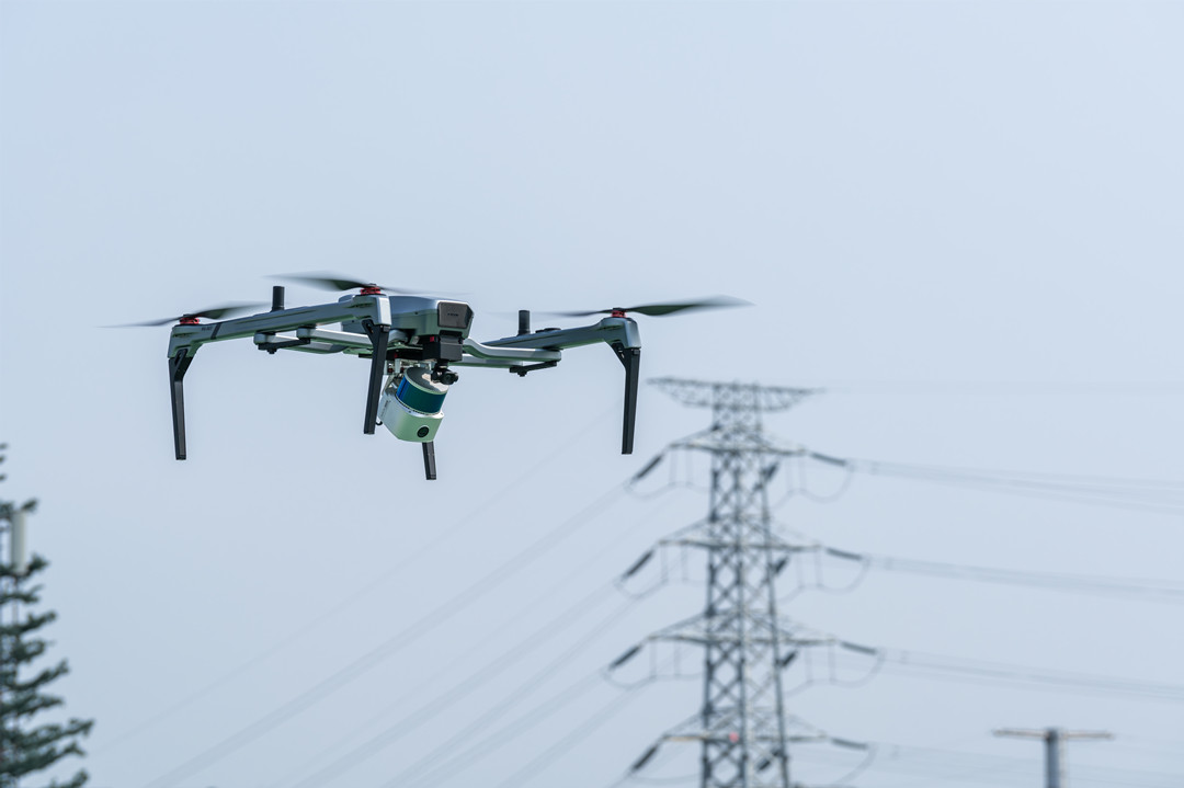
Drone survey cost by size and scope (2026, US)
Drone Survey Cost by Technology and Deliverable
The aircraft is rarely the expensive part. The sensor, the accuracy specification, and the processing work are.
Photogrammetry drone survey cost
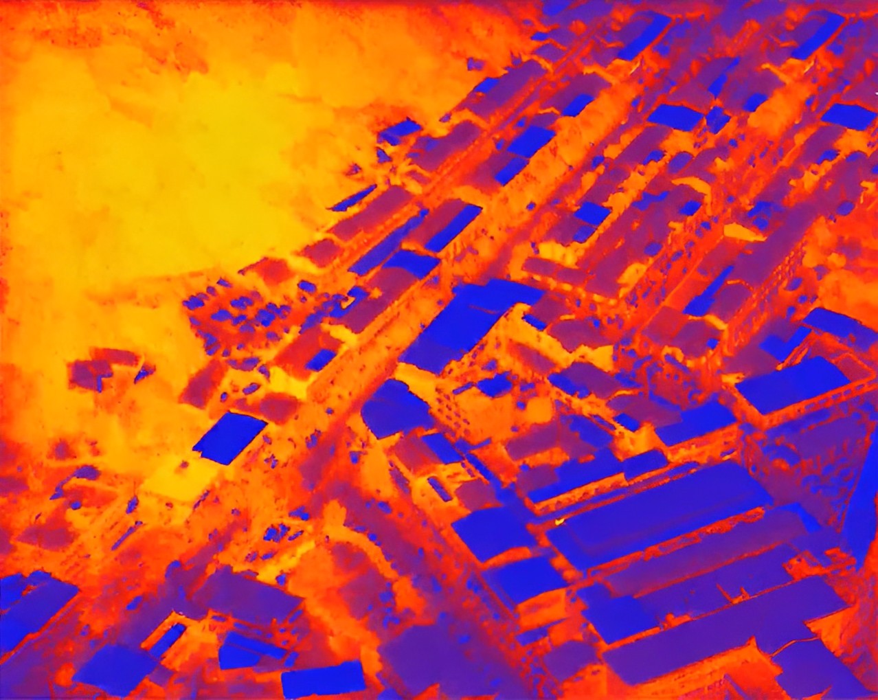
Photogrammetry stitches hundreds of overlapping photos into a map, a point cloud, and a 3D model. It is the cheapest method per acre and covers most open-site work: construction progress, stockpile volumes, as-built records, topographic mapping on clear ground. Expect $30–100/acre for capture and orthomosaic and $80–180/acre with ground control and topographic deliverables in the 10–50-acre band.
Cost is driven by photo count, which is driven by area and the ground sample distance (GSD) you specify. Halving the GSD roughly quadruples the photo count, and processing time follows. A crew defaulting to 2 cm imagery on a site that only needs 5 cm is charging you for data nobody will open.
The limitation is physical, not commercial. Photogrammetry measures the surface it can see. Under canopy, in deep shadow, on water, and on fresh asphalt, it struggles to build reliable ground elevations—not because the software is weak, but because there is no texture to match.
LiDAR drone survey cost
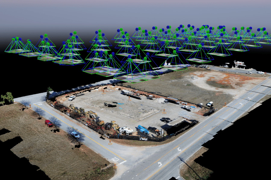
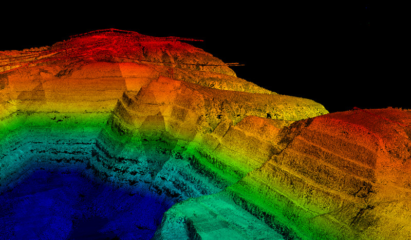
LiDAR fires laser pulses and times the returns, keeping several returns per pulse. Some of those returns come from the ground through gaps in the canopy, which is how LiDAR recovers terrain under vegetation that photogrammetry cannot see.
In published provider rate cards, LiDAR runs roughly two to three times the photogrammetric rate for the same area—about $200-450/acre against $80-180/acre in the 10–50-acre band, depending on scope. The premium is sensor cost, slower passes at lower altitudes, and classification labor.
That premium narrows in two situations. On large contracts, the fixed cost of mobilizing a LiDAR-equipped aircraft spreads across thousands of acres. And when you compare total project cost rather than capture cost, LiDAR often removes a separate ground survey in vegetated terrain—which can make it the cheaper route to a usable DTM.
Whether LiDAR earns its price depends on canopy density, the accuracy you need under the canopy, the point density you specify, and whether a photogrammetric surface would have been accepted anyway. It is a scope question before it is a technology question.
Thermal drone survey cost
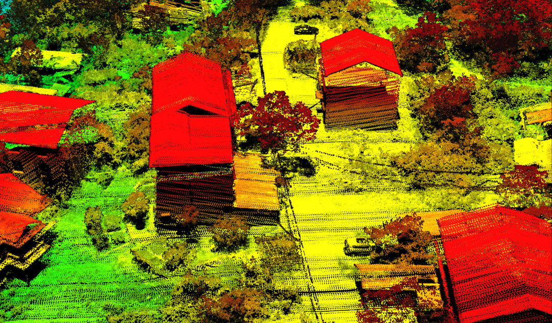
Thermal work is priced by flight hour, not by acre, because the deliverable is an inspection finding rather than an area map: $250-$600 per flight hour, or roughly $1,500-$5,000 for a standalone survey.
Typical uses are roof moisture detection, solar array inspection, building envelope assessment, and wildlife counts. Anything that produces a count or a condition report rather than a surface model is priced per project or per night of flying, because the constraint is the surveyor's time on site, not the hectares covered.
How deliverables affect price
The same flight can produce several products, and each adds processing time.
Drone Survey Cost by Project Type
Rates for each type appear in the table above. What follows is what moves a project between scope tiers — the variables that explain why your quote differs from the range.
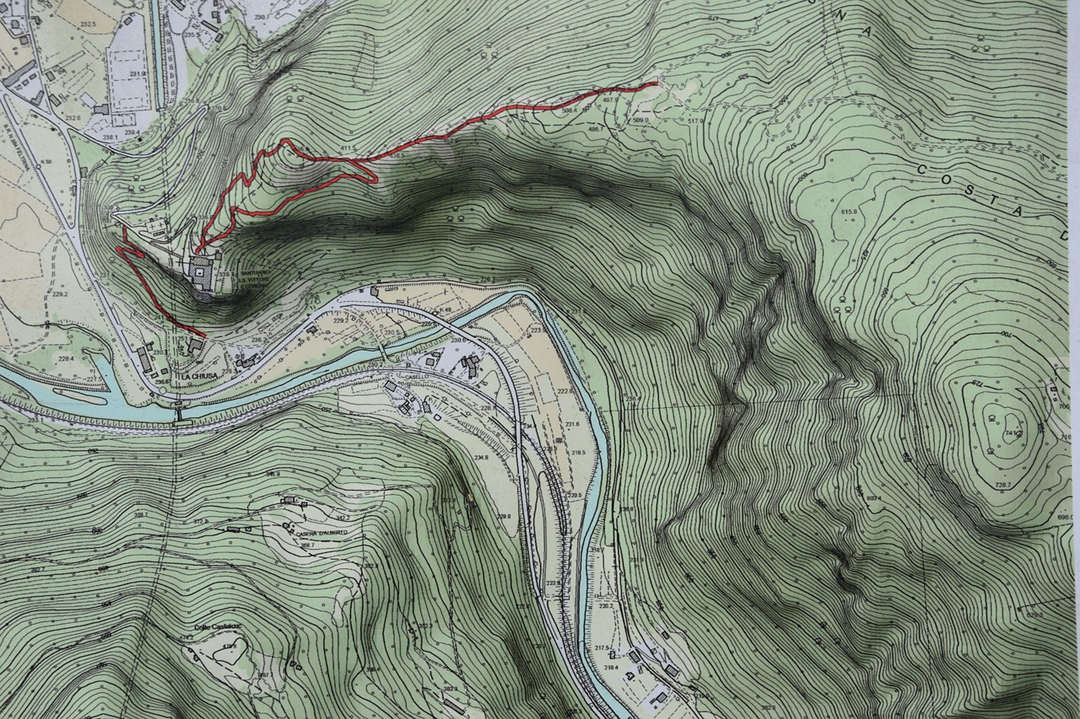
Drone topographic survey cost
A drone topographic survey creates elevation data and terrain information for engineering, construction, and land development.
A typical project may include:
Ground control points and checkpoints
Orthomosaic imagery
Digital elevation models
Contour lines
Spot elevations
Cut-and-fill or stockpile volume calculations
For budgeting, a 50-acre topographic survey with ground control may cost approximately $4,000–$9,000. A 500-acre project may cost around $12,500–$27,500 under the assumptions used in this guide.
Two specifications can make a significant difference:
Accuracy requirements: Relative accuracy describes how consistent measurements are within a model. Absolute accuracy describes how closely the model aligns with real-world coordinates. The required accuracy and verification method affect fieldwork and processing.
Contour interval: A project requiring 0.5-foot contours generally needs more detailed elevation data than one requiring 2-foot contours. The appropriate interval depends on terrain and engineering purpose.
Drone land survey cost
The term “land survey” can refer to several different services, including topographic mapping, property boundary surveys, and legal land surveys.
Drone mapping can efficiently collect terrain and surface information. However, aerial data alone does not establish legal property boundaries.
For boundary determination, a licensed land surveyor may need to perform additional research, field measurements, and professional certification for ALTA/NSPS land title surveys, mortgage surveys, and other legal deliverables.
A hybrid workflow is often practical: use a drone to collect terrain data and aerial imagery, then have a qualified surveyor handle boundary determination and any required certification.
For budgeting, quote the drone survey and the licensed surveyor’s work separately. The additional professional survey work depends on the property, jurisdiction, records, and scope. As a planning allowance, budget $2,500–$10,000+ for ALTA or boundary work on top of the drone scope. Do not assume that a drone mapping package automatically includes a legally certified survey.

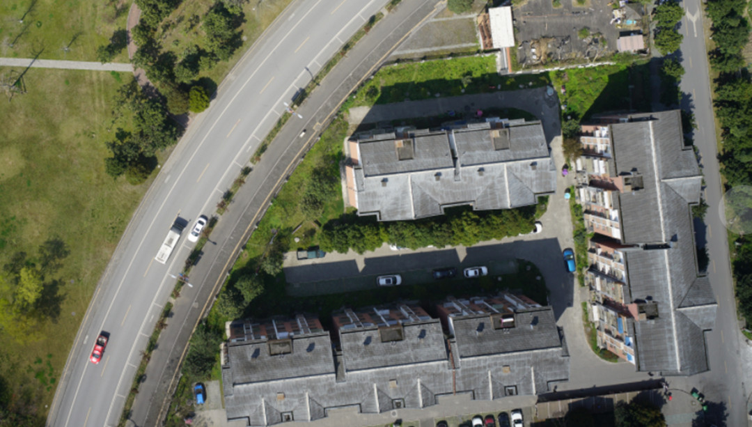
Drone building and roof survey cost
Roof and facade work is priced per property, not per acre, because the constraint is access and detail rather than area.
The comparison that matters commercially is not drone-versus-drone but drone-versus-access-equipment: scaffolding, cradle access, or a cherry picker commonly runs several thousand dollars and adds weeks of scheduling before any inspection labor.
Construction and mining survey cost
Both are recurring rather than one-off, which changes the economics entirely.
Construction progress: $800–3,000 per visit, depending on site size and deliverable. Monthly monitoring on a 40-acre site costs a fraction of a single full topographic survey, and it produces a time series that a one-off survey cannot.
Mining and stockpile volumetrics: quarterly or monthly inventory flights, priced per campaign. For an operation moving millions of tons, the cost of the survey is trivial against the cost of a volume error—a 2% error on a large stockpile can exceed the annual survey budget.
What Factors Affect Drone Survey Costs?
Six variables move a quote. Understanding them is what lets you tell a fair price from an inflated one.
Survey area and site layout
Area sets the flight time; shape sets the efficiency. A compact 200-acre block flies in fewer passes than a 200-acre corridor that is 40 feet wide and two miles long. Irregular boundaries, exclusion zones, and multiple disconnected parcels all add flight lines, and flight lines are billable time.
Aircraft and sensor choice
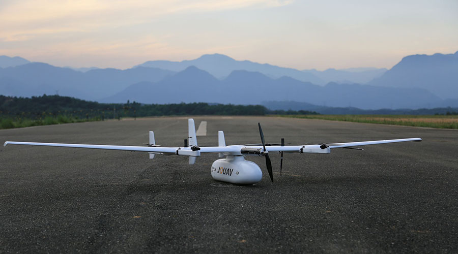
A multirotor is the right tool for a 20-acre site: it launches from a small area, hovers, and flies slowly at low altitude. For a 2,000-acre site the same aircraft means many sorties, repeated battery changes, and multiple days in the field. A fixed-wing VTOL drone covers contiguous terrain far more efficiently per sortie, which is why large-area projects are usually flown with one.
Sensor choice matters just as much. A 20 MP camera and a 61 MP full-frame camera produce different GSD at the same altitude and, therefore, different flight counts. A LiDAR payload changes both the aircraft requirement and the processing chain.
Accuracy requirements and ground control
This is the largest single lever on price. Accuracy can mean two different things, and quotes often blur them.
Relative accuracy is how true the measurements are inside the model—a wall length, a stockpile volume. It depends mainly on image resolution and overlap.
Absolute accuracy is how precisely the model sits on real-world coordinates. It depends on ground control points, or on an aircraft carrying RTK or PPK correction, or both. Each control point requires a field visit to place and survey, and RTK-capable aircraft cost more to buy and operate.
Whether a given project needs GCPs depends on the accuracy specification, the equipment, and the site. A site with good GPS conditions flown by an RTK aircraft may need only checkpoints for verification. A site with poor satellite geometry, tall structures, or a tight tolerance may need a full control network. Ask what the provider is delivering against, and how they will demonstrate it.
Terrain, vegetation, and access
Steep ground forces lower altitude, closer passes, and more overlap. Dense canopy pushes the project toward LiDAR. Site access affects where you can launch, land, and place control—a site with one gate and an active haul road costs more to survey than an open field, independent of acreage.
Airspace and regulation
Controlled airspace near an airport, military zone, or restricted site adds approval steps and sometimes scheduling constraints. In the US, most of this is handled through LAANC authorization under Part 107; other jurisdictions have their own processes with their own lead times. A site that needs a waiver can add days or weeks before the first flight.
Schedule and season
Rush turnarounds carry premiums. So does weather risk: a quote that assumes flyable conditions in a wet season is either padded or optimistic. Ask what happens if the flight is weathered out and whether reflights are included.
There are two different questions here, and conflating them produces bad decisions.
Payback asks how many surveys it takes to recover the purchase:
Payback volume = Capital cost ÷ Saving per survey
Annual break-even asks how many surveys a year you need to justify the fixed costs:
Break-even volume per year = (Annualized capital + annual fixed costs) ÷ Saving per survey
A photogrammetry setup at $8,000, depreciated over five years, is $1,600 a year; add $3,500 in insurance, software, and maintenance, and the annual fixed cost is $5,100. If an outsourced topographic survey of your typical site costs $1,500 and flying it in-house costs $300 in labor and processing, the savings are $1,200 per job. That gives about four surveys a year to break even and about seven surveys to pay back the hardware.
An industrial VTOL LiDAR setup at $90,000 changes both numbers. Five-year depreciation is $18,000, and fixed costs are another $18,000, so $36,000 a year against a saving of roughly $4,800 per large campaign ($6,000 outsourced, $1,200 in-house). That is seven to eight campaigns a year to break even, and about nineteen to pay back the capital.
The gap between those two configurations is the honest answer to the buy-versus-hire question. Photogrammetry pays for itself at modest volume. LiDAR does not, unless your sites are big enough that the saving per job is large and the jobs keep coming.
Where fixed-wing VTOL changes the math
On large contiguous sites, the binding constraint is not the camera or the software. It is the number of sorties.
Every sortie carries fixed overhead: crew time, battery or fuel turnaround, transport between launch points, and data offload. A multirotor with 40 minutes of endurance needs a lot of sorties to cover a thousand hectares. A fixed-wing VTOL with several hours of endurance needs far fewer. Fewer sorties means fewer crew hours, fewer battery cycles, less vehicle movement, shorter campaigns—and a lower cost per acre that comes from operations rather than from the invoice.
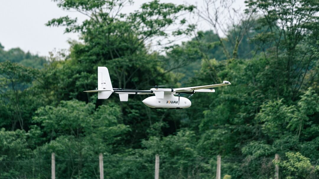
That multiplier is why large-area ownership looks economically different from large-area outsourcing, and it is the problem JOUAV's CW-series was designed around. A CW-15 flying at 373 m above takeoff with the CA-103 sensor at 65% overlap covers roughly 1,000 ha in a single sortie at 3 cm/px; accept a coarser GSD, and the same sortie covers more ground.
Read More
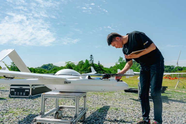

Your drone promises up to 46 minutes of flight time, but you’re back on the ground much sooner than expected.
What happened? In practice, advertised flight times are maximum figures measured under spe
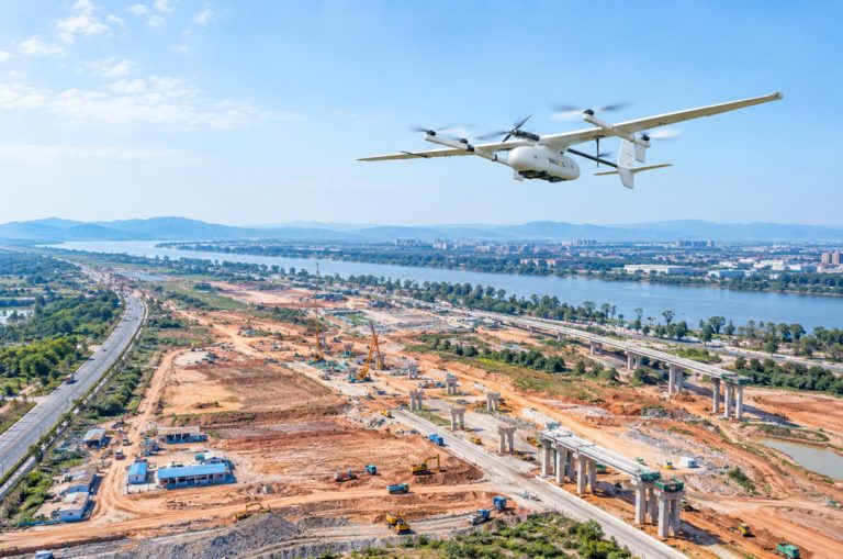
Drone mapping services can produce far more than aerial photos—orthomosaics, 3D models, point clouds, and elevation data that feed directly into GIS, CAD, and BIM workflows. But ask three providers to

JOUAV Product News and Use Cases
Fixed-Wing VTOL Drones Insights and Industry Trends
Invitations to online demo events
 English
 中文