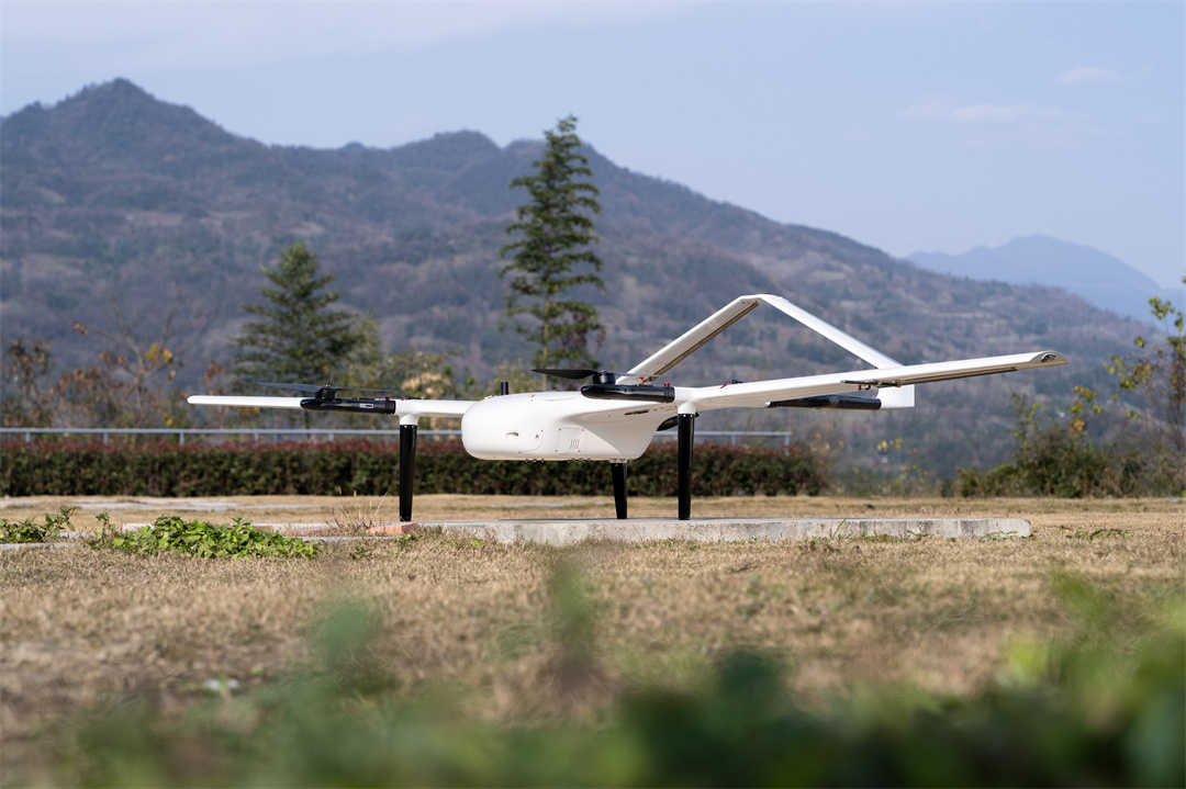
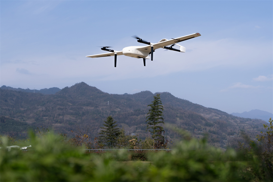
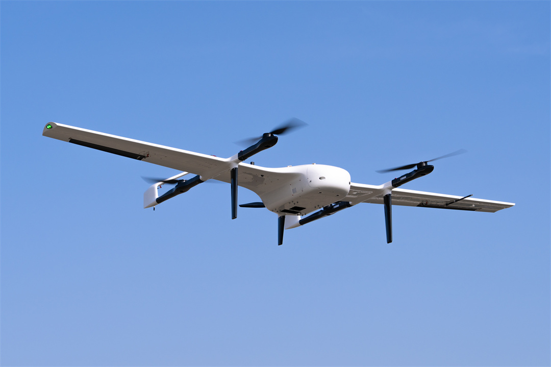
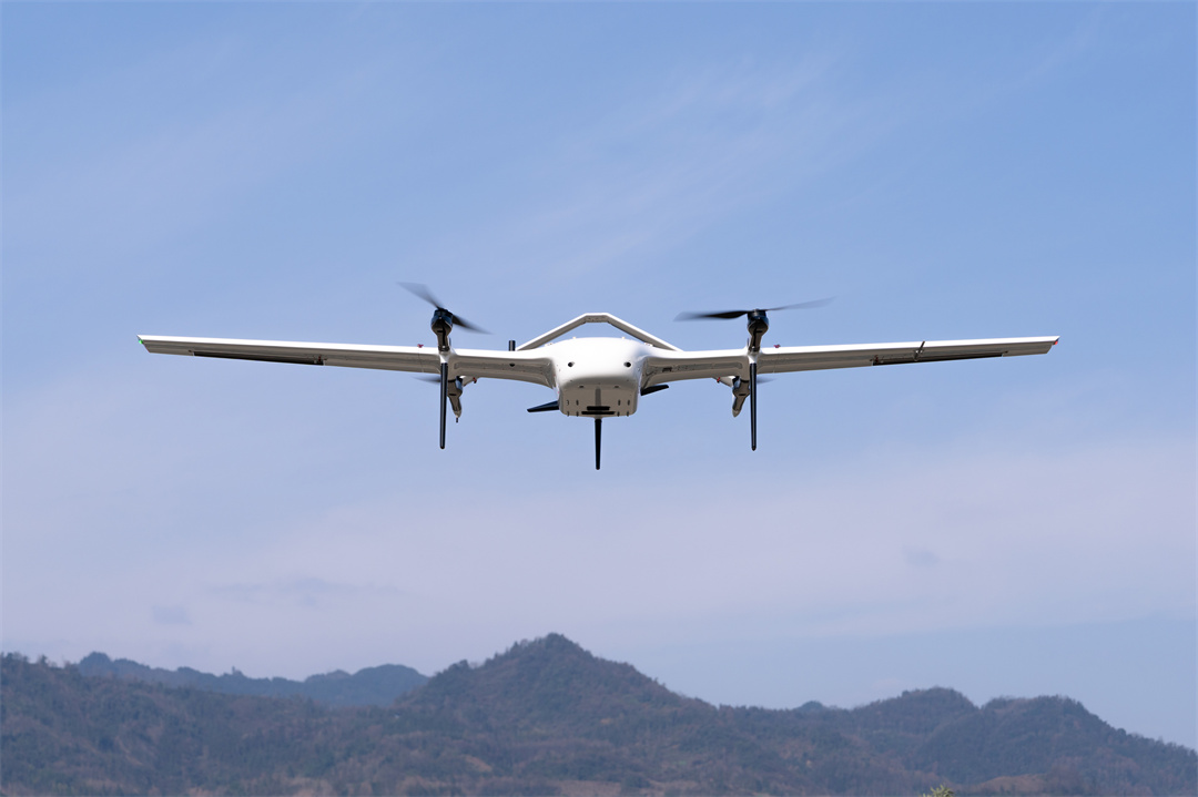
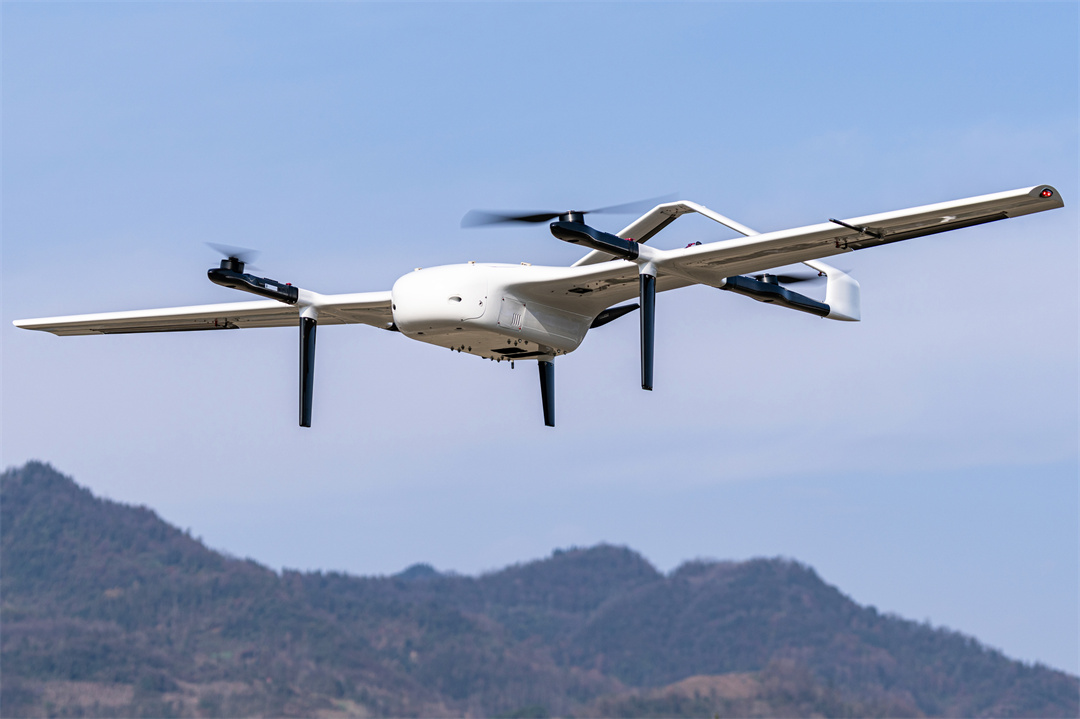
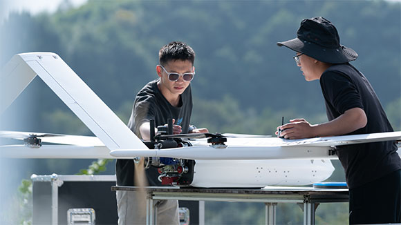
CW-20E Overview
The CW‑20E packs flagship intelligence into a foldable, field‑ready VTOL. With 180 minutes of flight time and a 5 kg payload, it turns single sorties into full‑day workhorses. The all-new digital avionics and upgraded active obstacle avoidance deliver autonomous safety from takeoff to landing. Add onboard 100 TOPS AI computing—and you’re not just flying; you’re delivering actionable intelligence faster than ever.
Benefits and Features
With continuous technical innovation, the CW‑20E delivers real‑world benefits: longer missions with less downtime, fold‑and‑go deployment, active safety, and onboard intelligence that turns raw data into decisions.

3-hr Long Endurance
180 minutes of flight time with a standard 2kg surveillance payload. Cover more than 150km of linear assets in a single mission — no battery swaps, no second flights.

5 kg High Payload Capacity
Carry up to 5kg of mission equipment. Swap payloads in minutes — from EO/IR gimbals and mapping cameras to LiDAR and multispectral sensors.

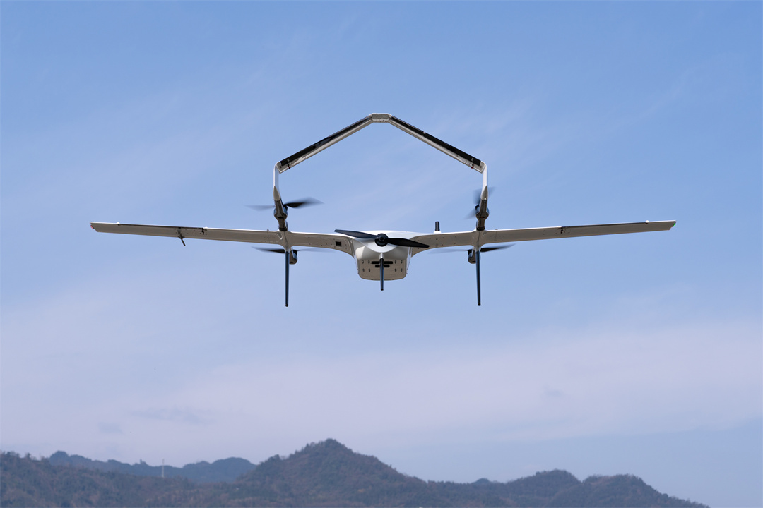
1‑Minute Tool‑Free Foldable
Fully collapsible design with no tools required. Unfold and deploy in under 1 minute — easily fits into any vehicle trunk for rapid field response.

All‑Digital Avionics
Full‑digital bus with dual IMU and dual GNSS redundancy. Each node features automatic fault recovery and control reallocation — critical systems never fail silently.

100 TOPS Onboard AI Computing
100 TOPS AI module runs real‑time computer vision and deep learning models. Identify, track, and react to targets mid‑flight — not after landing.

Active Obstacle Avoidance
Forward mmWave radar (240m range) + downward radar (240m) + binocular vision (50m). The aircraft dynamically reroutes or climbs to avoid obstacles, ensuring safety from takeoff to landing.

Fully Autonomous Flight
One‑button takeoff and landing, automated pre‑flight checks, in‑air compass calibration, and terrain following. Focus on your mission, not the sticks.

Extreme Environment Ready
Takeoff at 4,000m, operate up to 6,000m. Heated pitot tube prevents icing; sealed, coated airframe withstands light rain and high humidity. Reliable from -20°C to 50°C.
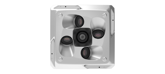
Interchangeable Payloads for Versatile Operations
The 6 kg payload capacity supports rapid mission reconfiguration. Swap sensors in minutes to transform the CW-20E for different operational roles.
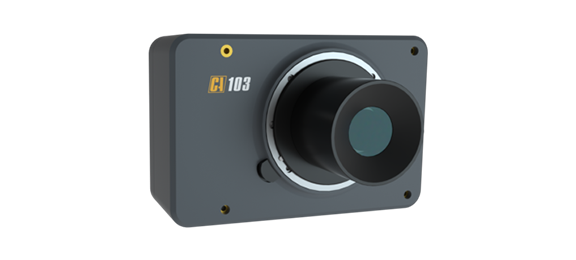
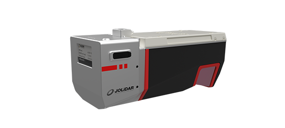
CA50XR Series Oblique Camera
High-precision half-frame/full-frame oblique cameras for 3D city modeling and urban planning
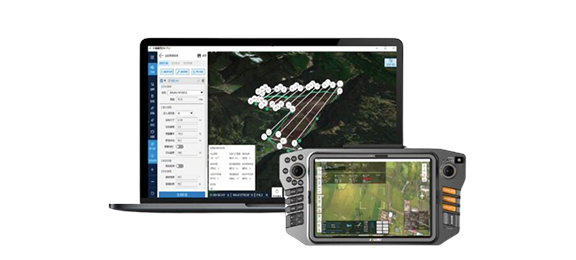
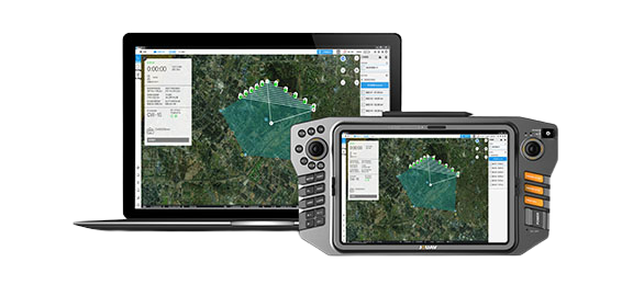
Supporting Software
JOUAV provides one-stop UAV products, including the supporting software needed for the task. You can use these software to plan a flight path, control and manage the drone, track and identify targets, and see video and geo-data information from the drone in real time.
Eagle Map Drone Surveillance Software
An intuitive software solution to deploy drones' security and surveillance operations.
FlightSurv Drone Mapping software
Cloud-based drone mapping software for flight planning, data collection, processing, and analysis.
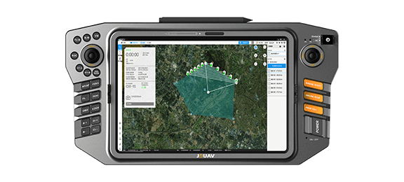
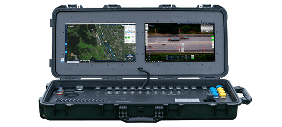
Ground Control Stations
JOUAV offers handheld, portable and modular vehicle ground control station. You can choose different control devices according to the different environment and task.
Professional Technical Support
We are committed to ensuring that every customer can get timely and professional technical support. Engineers can provide customers with remote product installation guidance, software updates, and UAV flight technical support; they can also arrive at the scene to provide services.

Complete drones flight training
Professional after-sales engineer team, online or on-site support
Well documented support and videos
Local distributor support
Worry-free package and professional insurance
Warranty and return to factory repair
More information about JOUAV and our drones
Provide the suitable solution for your needs
Help for your project promotion
Get a product quote