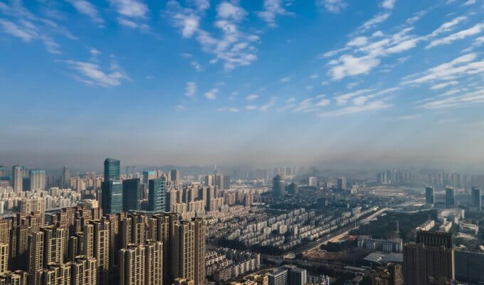
City Planning
Urban Illegal Construction Supervision
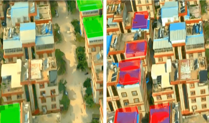
In the process of urban development, sometimes, illegal construction activities will occur. Manual inspection of illegal buildings requires a lot of HR, and material resources, and it exists blind spots and lags. With the help of the JOUAV VTOL drone and AI intelligent analysis algorithm, high-resolution remote sensing images of the surveillance area and automatic identification results of illegal construction can be obtained in time. It quickly obtains information such as the location and shape of illegal buildings and provides the government with a strong basis for decision-making.
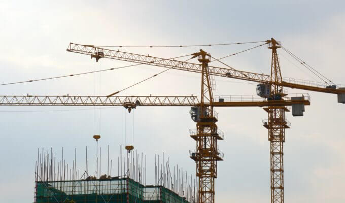
Urban Engineering Monitoring
Urban engineering construction requires a comprehensive understanding of the work area and surrounding environmental information. Urban engineering construction needs to coordinate environmental protection with economic and social development. Drone surveying can map and measure the area of the project area, the volume of earth and stone and the degree of vegetation coverage, etc. It provides a basis for judging the rationality of environmental protection measures.
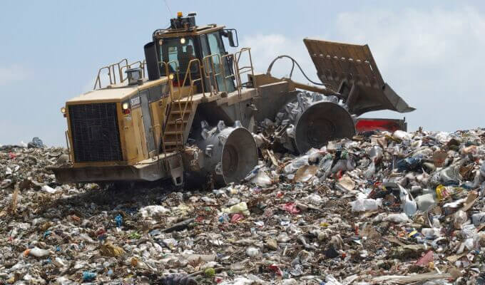
Municipal Waste Management
For scenarios with harsh operating environments, UAV remote sensing technology can collect data at low cost and low risk. Drone surveillance can be used to supervise waste treatment plants, obtain real-time high-altitude images of waste landfills and create three-dimensional models. UAV remote sensing technology can accurately calculate the remaining space of the landfill and make corresponding plans. It can identify people who litter the streets, as well as the trash that is discarded on beaches and deserts. It can monitor industrial waste dumped illegally by factories.
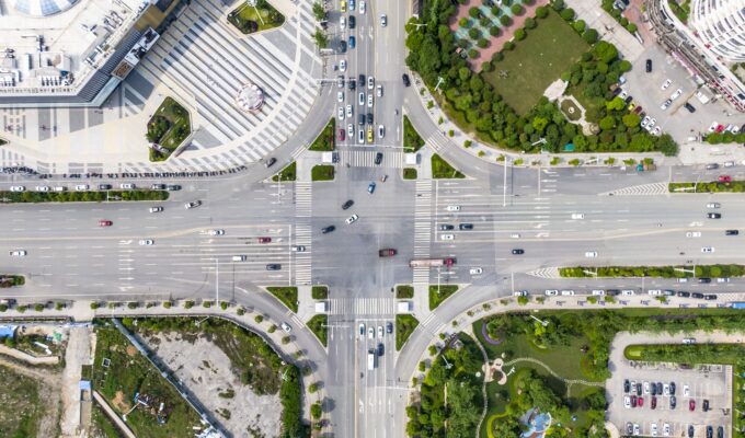
Urban Security
UAV remote sensing technology can undertake the following functions in the process of urban security :
- Conduct aerial inspections of key areas
- In the face of emergencies, promptly guide the crowd, scientifically dispatch police forces, and carry out video forensics
- At the scene of urban public safety cases, in addition to being used for reconnaissance, drones can also pursue criminal suspects
- At the disaster site, images are transmitted in real time, and the decision-makers are provided with precious information on the site for the first time. Easy to organize a rescue.
Construction of a Unified Monitoring System for Drones in Shenzhen-Shantou Smart City
The Shenzhen-Shantou Special Cooperation Zone officially launched the normal operation of "UAV + AI" in 31 application scenarios including rivers, reservoirs, linear projects, address disasters, and sewage outlets in April 2021. It combines the inspection and supervision of various IoT designated areas on the ground and ground inspections to form a unified inspection and Shenzhen-Shantou characteristic supervision system. It provides smart city data support for urban law enforcement, violation investigation and control, precise supervision, and precise governance.