Through continuous technology innovation, the CW Series UAS currently has seven UAV platforms with a maximum take-off weight of 6.8Kg to 100Kg. The product has high stability and the power mode is pure electric or hybrid. Modular design, autonomous flight, vertical take off and landing, CW series can work in complex terrain such as mountains, hills and jungles.
product-item
CA-103 Aerial Camera
61 MP full-frame camera for land surveying, urban planning
product-item
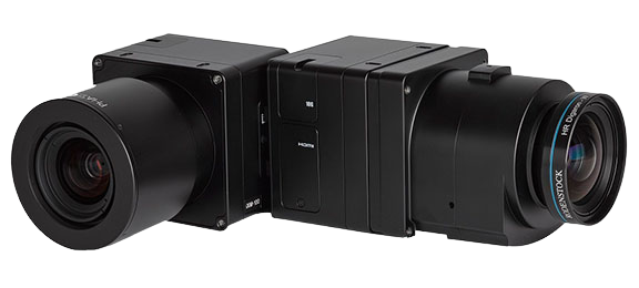
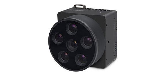
PhaseOne iXM Series Camera
High-resolution medium format cameras for mapping and surveying
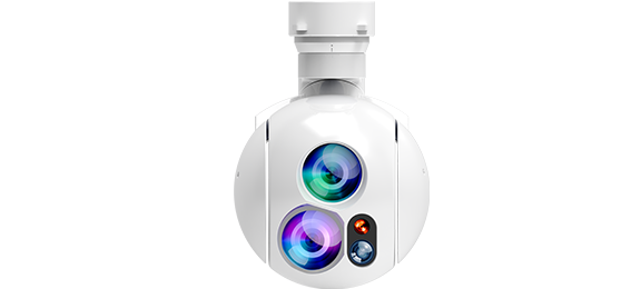
product-item
MG-120E EO/IR Gimbal Camera
Lightweight 3-axis gimbal camera with 30X optical zoom and thermal sensors
product-item
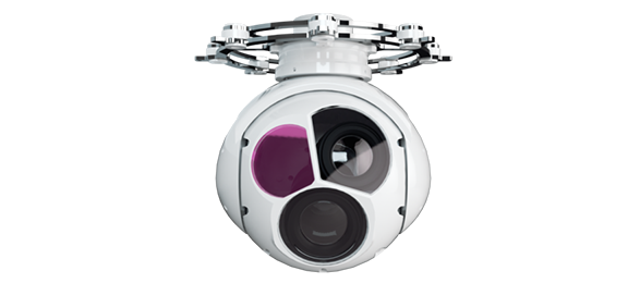
MG-150E EO/IR/LR Gimbal Camera
30x optical zoom and thermal imaging drone gimbal camera with 3km laser rangefinder
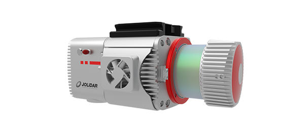
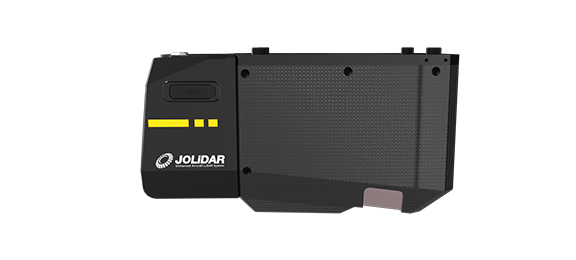
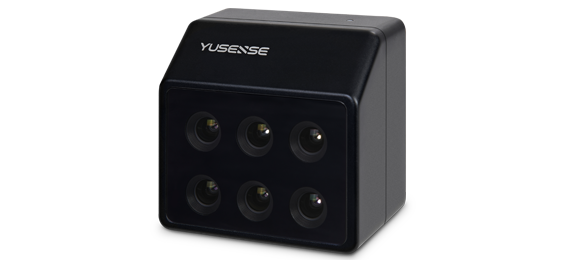
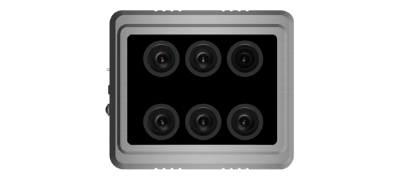
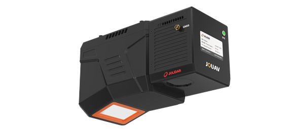
product-item
JoLiDAR-LR22S
JoLiDAR-LR22S is a lightweight and long-range laser scanner for UAV surveying.
product-item
JoLiDAR-1500
Long-range, high-precision LiDAR system for large areas and complex terrain mapping.
product-item
X20P Hyperspectral Imager
Integrated Hyperspectral Imager
product-item
MS600 V2 Multispectral Camera
6-channel high-resolution multispectral camera
product-item
MSK-8 Multispectral Camera
Industrial Grade Multispectral Camera
product-item
CA50XR Series Oblique Camera
High-precision half-frame/full-frame oblique cameras for 3D city modeling and urban planning
product-item
DG10 Medium Format Oblique Camera
Lightweight, small in size, good stability, and high accuracy
product-item
CW Series Aeromagnetic Surveying System
Intelligent, efficient and cost-effective aeromagnetic measurement system
1 2