Benefits and Features
The JoLiDAR-LR22 is a high-performance, long-range LiDAR scanner designed for professional UAV applications. Engineered to meet the demands of modern surveying and mapping applications, this advanced system seamlessly integrates laser scanning, IMU technology, RGB imaging, and data acquisition capabilities for unrivaled performance in every scenario.

Centimeter-Level Precision
Elevation error less than 2cm without ground control points (GCPs).
1845m Detection Range
Reach distances exceeding 1845 meters at 80% reflectivity.

Higher Point Cloud Density
Generate detailed 3D models with a rate of 1.5 million points per second.

High Efficiency
20km2 covered in a single flight on CW-25E (at a scale of 1:500).

15 Returns
Extract detailed topographic data from dense vegetation with ease.

360° Field of View
Capture comprehensive data with ease no matter the environment or angle.

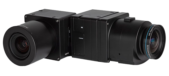
Integrated Full-Frame Camera
61MP resolution for capturing high-quality imagery alongside LiDAR data.

Base Station and GCP-Free
Simplify the setup process, saving time and resources.
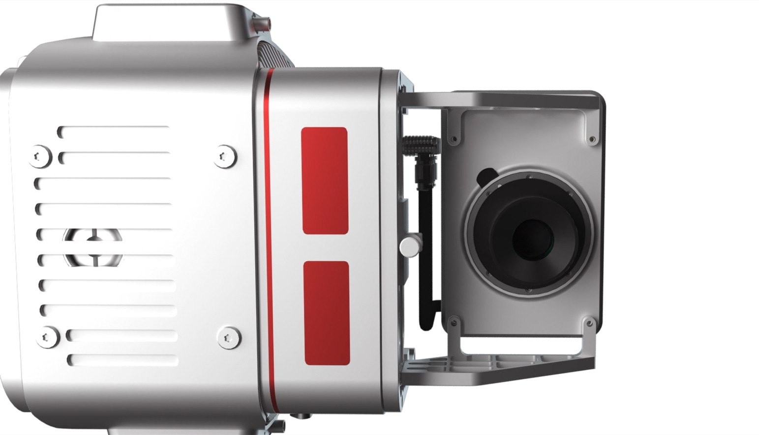
The 61 MP sensor enhances LiDAR point cloud clarity by capturing detailed visual information for precise object and surface texture identification. Its full-frame sensor (35.7×23.8mm) captures more light for improved low-light performance and potentially sharper images. With a 21mm focal length, it offers a wider field of view for efficient coverage of larger areas in each image.
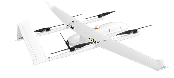
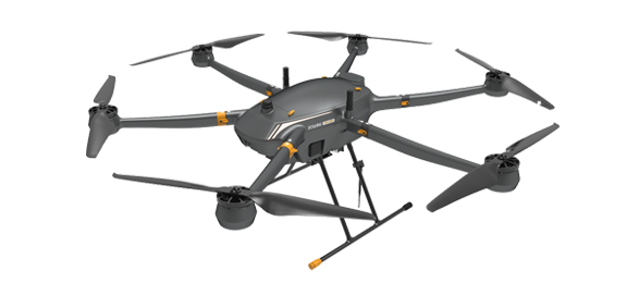
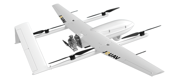
Compatible Drones
Pairing the JoLiDAR-LR22 scanner with a drone makes LiDAR more accessible, and allows surveyors and other professionals to collect precise data quickly and easily. Let's see the compatible drones of JoLiDAR.
Other Cameras
JOUAV is constantly updating its cameras and enriching its product lineups to provide a better data results and to meet customers' needs.
PhaseOne iXM Series Camera
High-resolution medium format cameras for mapping and surveying
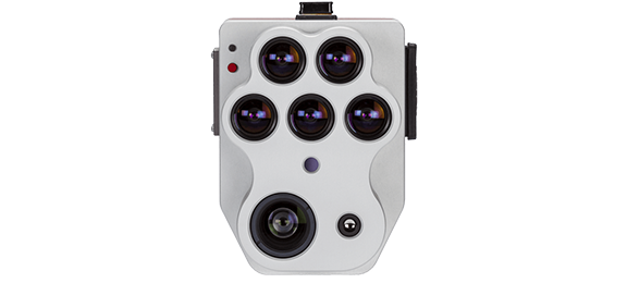
MicaSense Altum-PT Multispectral Camera
RGB, multispectral, and thermal imagery at higher resolutions for advanced vegetation research applications
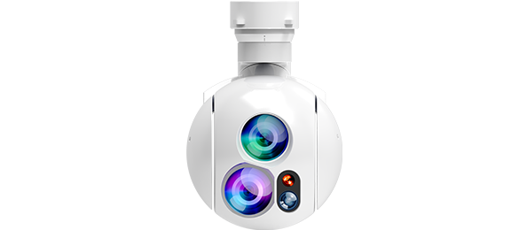
MG-120E EO/IR/LR Gimbal Camera
Lightweight 3-axis 30X optical zoom and thermal imaging with laser rangefinder

More information about JOUAV and our drones
Provide the suitable solution for your needs
Help for your project promotion
Get a product quote