Picking drone mapping software feels harder than it should be.
Open any review site, and you will see the same ten names repeated: Pix4D, DroneDeploy, DJI Terra, Agisoft Metashape, UgCS. But the recom
Here's the question every drone pilot hears: How much should I charge?
And here's the honest answer: $100 to $500 an hour, or $300 to $5,000 per project, depending on what you're doing, where you are, and how good you are at it.
A real estate shoot in a small town might run $300. A thermal inspection of a transmission tower in a remote area could hit $5,000. The gap is wide because the work is wildly different — and so are the skills, equipment, and risks involved.
This guide breaks it all down. Hourly rates by skill level. Project costs by industry. Hidden costs that eat your profit. And a simple framework for pricing your own services — so you stop guessing and start charging what you're worth.
Whether you're a new pilot figuring out your first quote or a client trying to understand what a fair price looks like, this is the only guide you'll need.
Let's get into it.
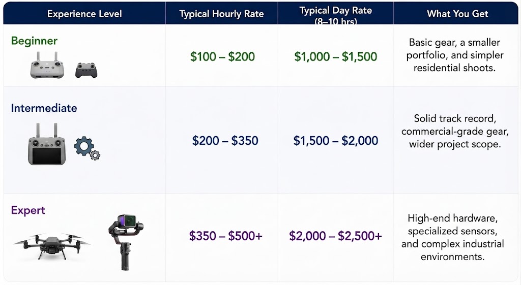
How Much Do Drone Services Cost? — At a Glance
If you want the quick numbers without wading through paragraphs of fluff, here they are.
Keep in mind these are market averages. Where you fly, what you're flying, and how specialized your data is will move these numbers up or down.
Hourly & Day Rates by Skill Level
Just like any professional service, you get what you pay for. Experience dictates safety, efficiency, and—most importantly—the quality of the deliverables.
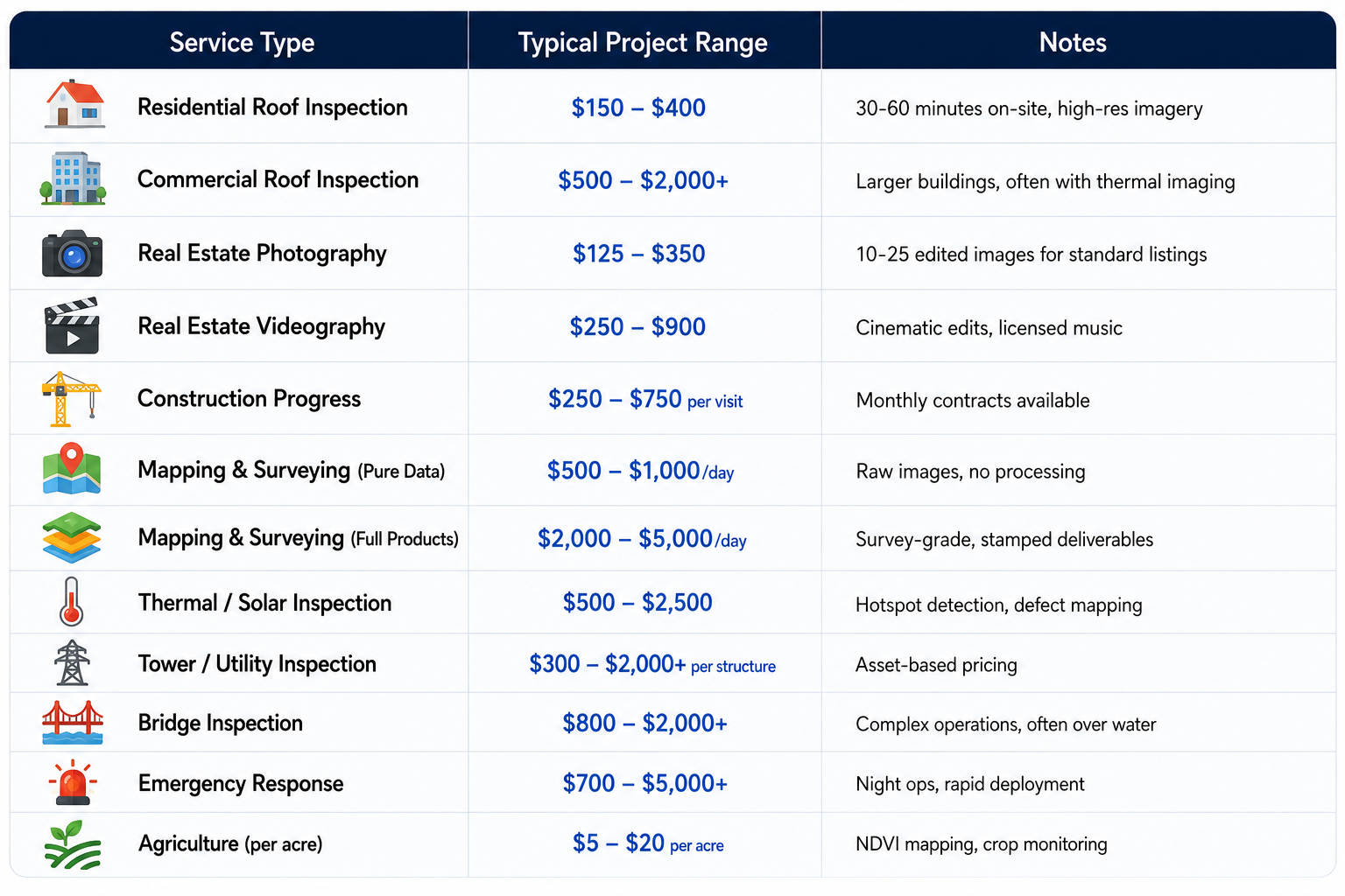
Service-Specific Project Rates
Here's what you can expect to pay (or charge) for common drone services in 2026:
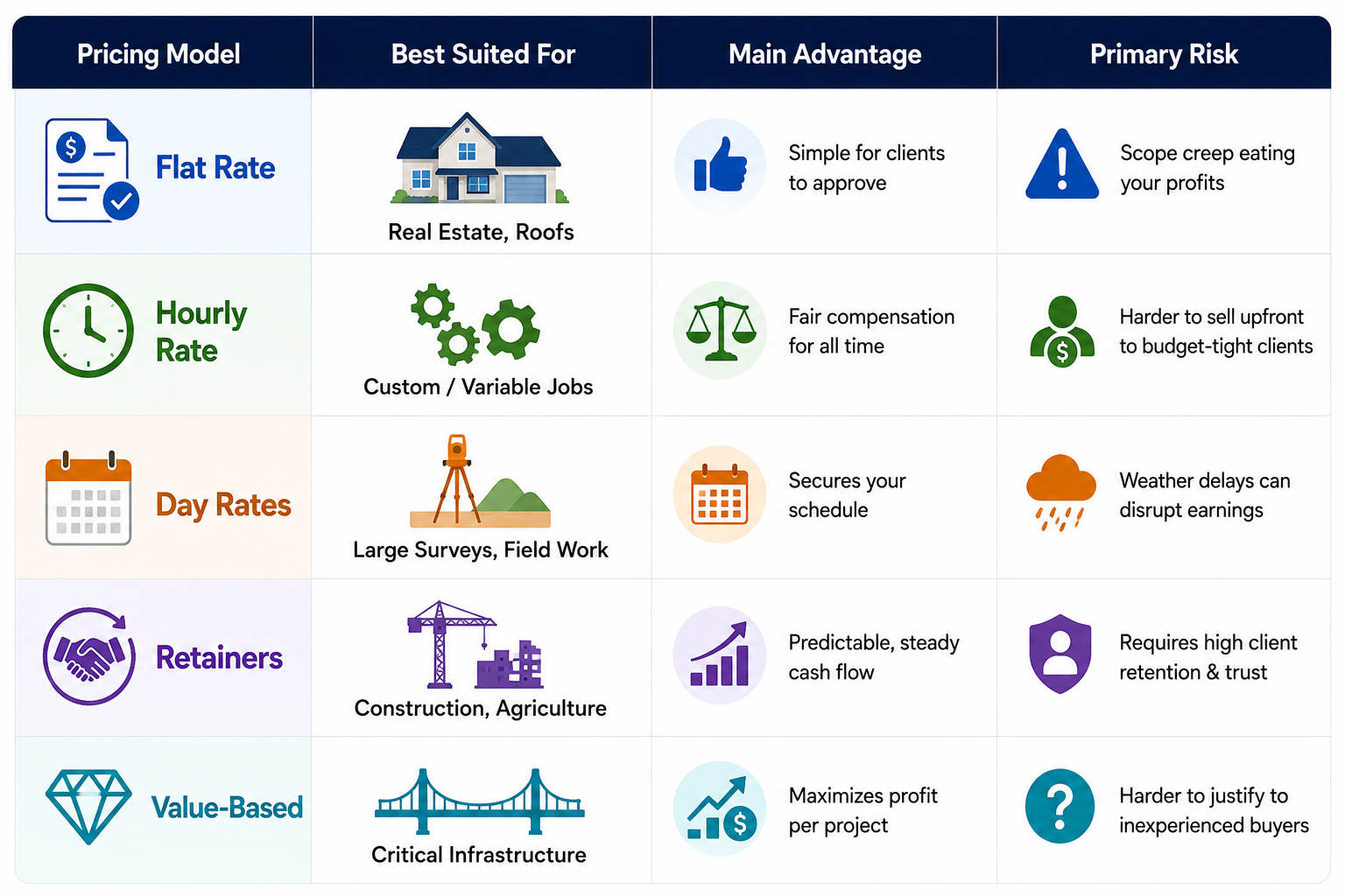
Drone Services Pricing Models — Which One to Use
When you’re staring at a new client inquiry, one of the first questions you have to answer is how you’re going to bill them.
Different jobs require different frameworks. Here are the five primary pricing models, how they actually work in the field, and the hidden traps you need to watch out for.
Quick Comparison: Which Model Fits Your Job?
Industry-Specific Drone Services Pricing
Now that we’ve looked at how to structure your bills, let’s get down to brass tacks. What are people actually charging across different industries?
Real Estate Photography & Videography
This is where most commercial pilots cut their teeth. It’s an accessible entry point, but it's also fiercely competitive, meaning you have to manage your deliverables carefully to protect your margins.
- Basic Real Estate Photography: $150 – $500 per project ($100 – $300/hr equivalent) for 10 to 20 edited interior and exterior images.
- Tiered Packages: $200 – $800+ for bundled media options (photos, videos, and basic aerial floor plans).
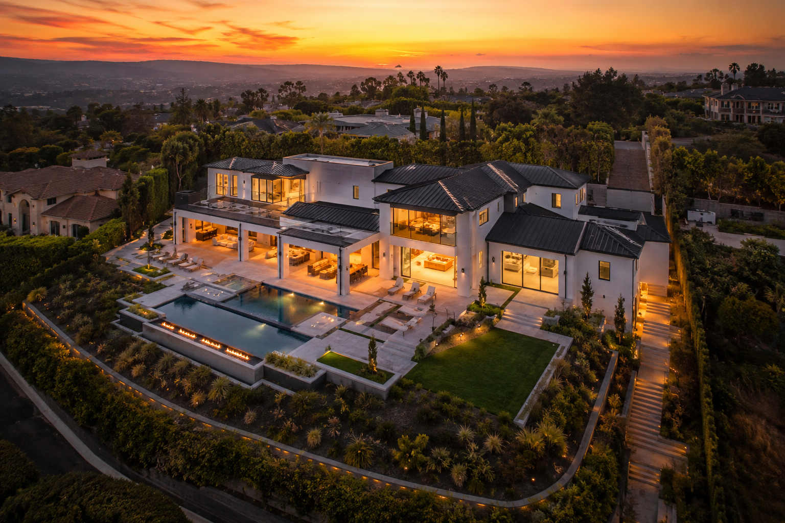
- Luxury Real Estate: $800 – $2,000+ ($150 – $300+/hr equivalent) featuring cinematic edits and twilight shots.
- Commercial Real Estate: $500 – $1,500+ ($200 – $400/hr) for full property showcases with branding elements.
- Ground-to-Air Add-on: $75 – $200 for ground photographers adding quick drone shots to their standard packages.
What drives the cost: Urban location, property size and complexity, and advanced deliverables (such as twilight lighting, 3D tours, or FPV walkthroughs) push prices up. Established pilots with strong portfolios easily justify premium rates.
Example: A standard residential listing might run $250 for 10 aerial photos and a short video. A luxury estate with twilight shots and cinematic editing easily reaches $1,500+.
Roof Inspections
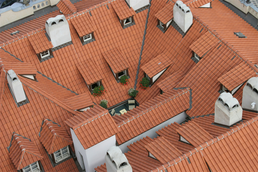
Roof inspections have quietly become one of the most reliable bread-and-butter services for drone operators because the scope is tight, predictable, and solves an immediate safety headache for clients.
- Residential Roof Inspection: $150 – $400 ($150 – $400/hr). Usually takes 30 to 60 minutes on-site to capture high-res grid imagery of missing shingles, storm damage, or wear-and-tear.
- Commercial Roof Inspection: $300 – $700 (1 to 2 hours on-site). Covers larger flat roofs, HVAC units, drainage systems, and complex flashing.
The value pitch: Convincing a client to pay $400 for a drone roof inspection is an easy sell when you frame it against the alternatives. Scaffolding setup can run $2,000 to $5,000, and renting a cherry picker or hiring a crew to scale a steep pitch manually carries massive liability risks and costs thousands more. The drone gets up, gets the data in pristine 4K, and leaves the property untouched.
Construction Progress Monitoring
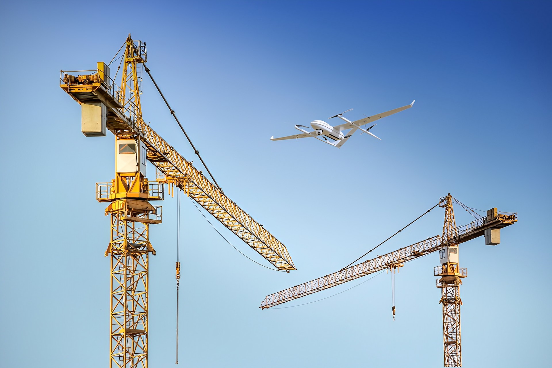
Construction managers live and die by schedules. They need regular, recurring visual records to track progress and satisfy stakeholders, making this sector ideal for retainer packages.
- Progress Monitoring (Per Visit): $250 – $600/hour or per-visit fee.
- Monthly Packages (Mid-Size Site): $1,200 – $3,000/month, covering weekly flights, orthomosaics, and progress reports.
- Full 12-Month Program (50 acres): $14,400 – $36,000 for comprehensive ongoing monitoring.
The In-House Reality Check: Some clients consider buying their own drone. A first-year in-house setup costs $3,000 to $7,000 (drone, Part 107 certification, software), plus $99 to $199 per processed model in software fees. For most projects, hiring a third-party specialist remains significantly more cost-effective than absorbing fixed overhead.
Example: One pilot charging a flat $300 per progress flight realized each visit required 20 minutes of waiting just to clear site safety protocols. Once he factored that wait time into his pricing, his rate increased to $450 with zero pushback from the client.
Mapping & Surveying
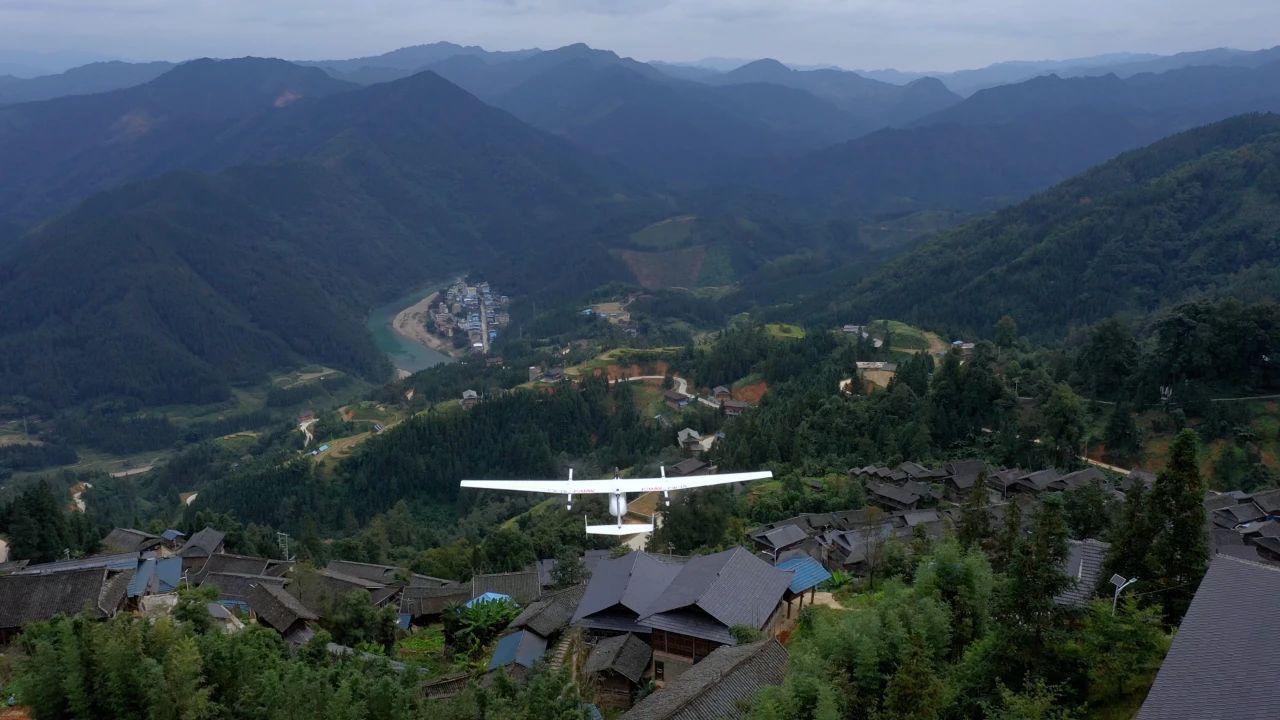
When you move past standard photography into photogrammetry, you cross a major technical threshold. Especially relevant for mapping and surveying projects, pricing can also be based on the area covered or miles flown, ensuring clients pay directly for the exact coverage they need.
- Orthomosaic (Up to 100 acres): ~$1,199 per project.
- Small Sites (< 10 acres): $1,500 – $3,000 per project.
- Large Areas (10 – 50 acres): $3,000 – $10,000+ per project.
- Large Areas (500+ acres): $150 – $500/acre.
- Pure Data Collection (No Processing): $500 – $1,000/day.
Why it commands a premium: Pilots providing mapping services charge an average of $23 more per hour than standard commercial drone pilots due to the specialized photogrammetry skills required. Furthermore, survey-grade outputs using Ground Control Points (GCPs) and RTK GPS cost significantly more than approximate mapping.
Example: Mapping a 50-acre site at $15 per acre totals $750. For large, single-area projects, per-acre discounts are common because operational efficiency increases—though these discounts only apply to continuous tracts of land, not scattered parcels.
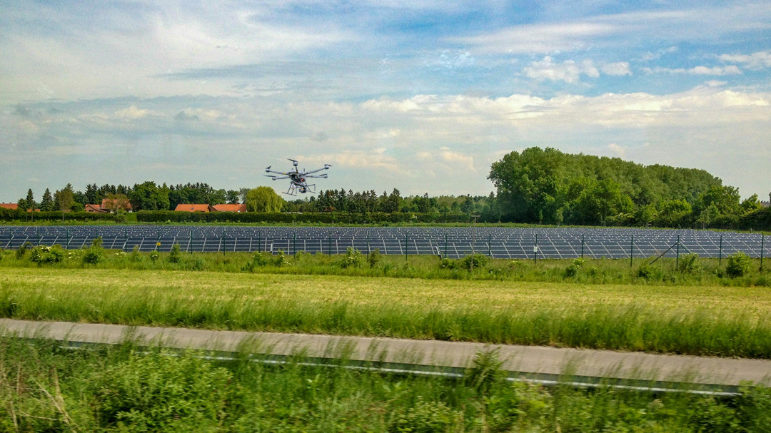
Thermal & Solar Inspections
Thermal inspections require specialized radiometric sensors and data-processing skills to detect anomalies, moisture intrusion, or electrical failures.
- Rooftop Residential Solar/Thermal: $300 – $700 for thermal imagery and a basic hotspot summary.
- Medium Solar Installation: $800 – $1,500 for thermal imagery and structured defect mapping.
- Utility-Scale Solar Farm: $2,000 – $5,000+ for full thermal analysis and detailed, actionable defect maps.
What's included: Raw thermal data is processed into defect maps that pinpoint the exact location and severity of individual failing cells or string issues, allowing maintenance crews to target specific repairs rather than replacing entire panel arrays blindly.
Industrial & Utility Inspections
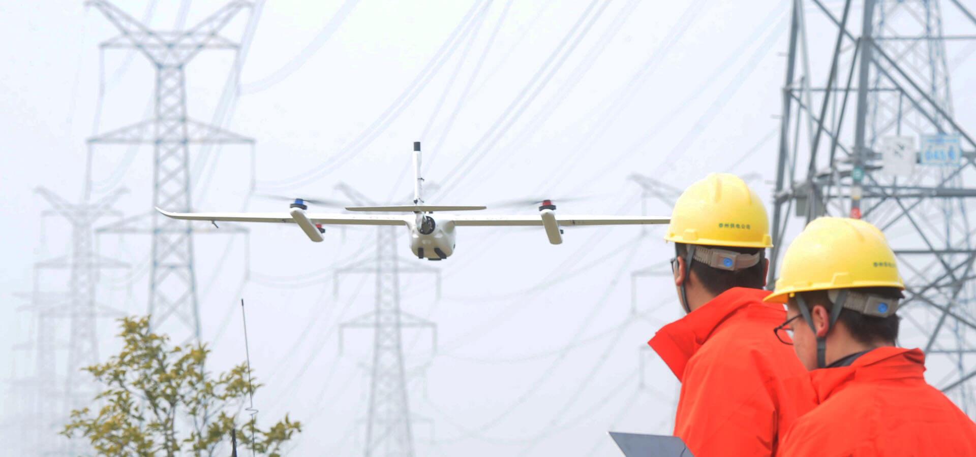
These represent the highest-paying — and highest-risk — commercial drone services. Industrial inspections follow strict asset-based workflows, where each tower, pole, bridge, or line segment requires precise flight paths and safety clearances.
- Distribution Pole: $50 – $150 per pole.
- Transmission Tower: $300 – $1,000+ per tower.
- Bridge Inspection: $800 – $2,000+ per structure.
- Annual Utility Program (Large Network): $20,000+ per year.
What drives cost: Asset complexity, total volume, environmental risk, and regulatory hurdles. While standard Visual Line of Sight (VLOS) operations are straightforward, complex Beyond Visual Line of Sight (BVLOS) operations require specialized waivers and equipment. However, on large programs, BVLOS drastically reduces per-asset inspection costs.
Value at scale: Utility companies inspecting thousands of poles annually achieve massive savings compared to traditional climbing methods, feeding high-resolution data straight into enterprise asset management systems.
Agriculture
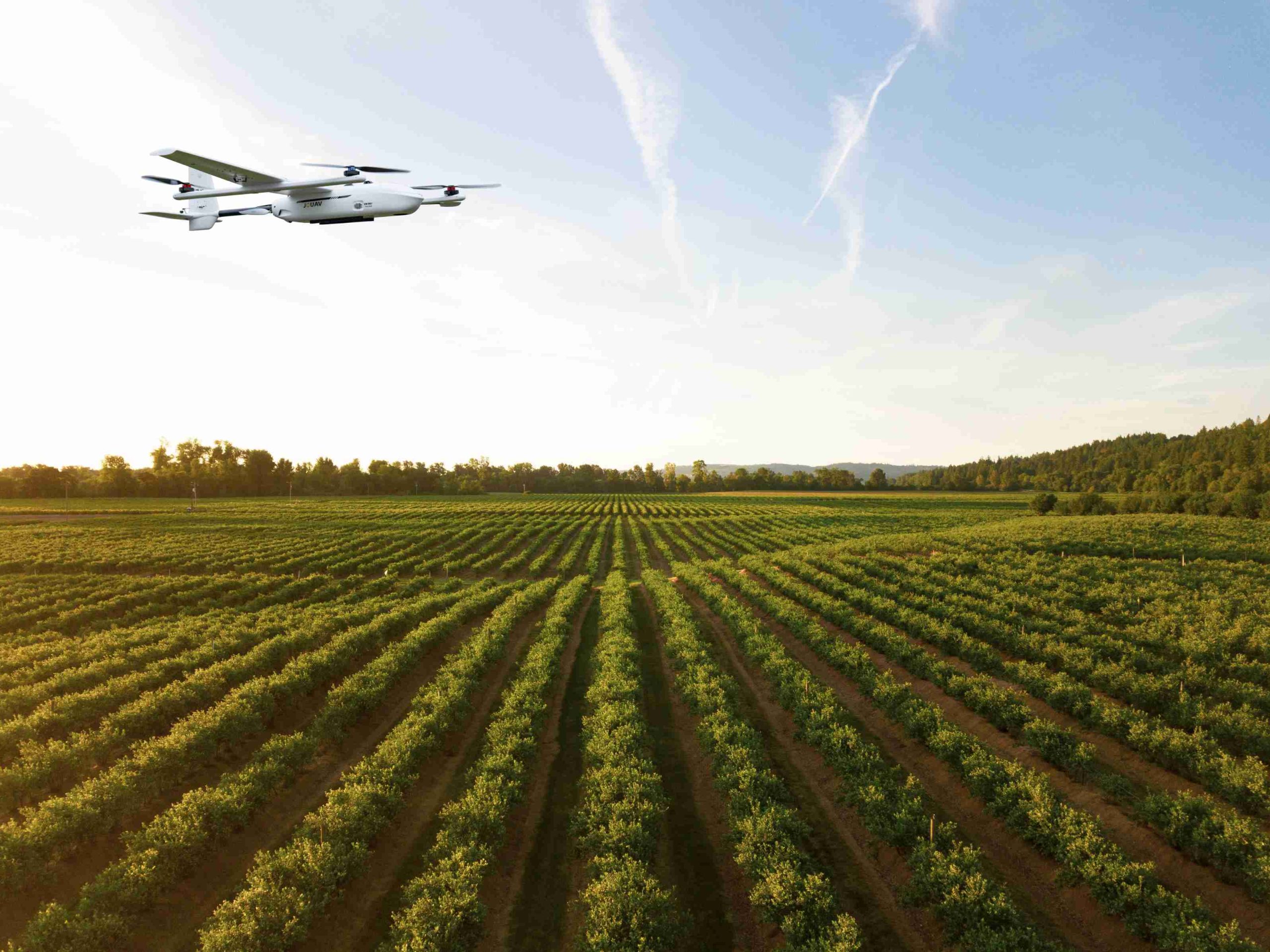
Agriculture is one of the fastest-growing commercial drone markets, utilizing everything from multispectral mapping to heavy-payload crop dusting.
- Aerial Spraying (e.g., DJI T50): $150 – $220/hour; $10 – $16/acre.
- NDVI / Crop Health Mapping: $150 – $250/hour; $6 – $10/acre.
- General Survey & Mapping: $8 – $14/acre.
- LiDAR Mapping: $250 – $400/hour; $20 – $48/acre for high-precision 3D point clouds.
Example: A 100-acre NDVI scan at $10 per acre totals $1,000. Volume discounts apply for large, contiguous farm blocks, but not for disconnected fields that require packing up and relocating equipment.
Emergency Response & Public Safety
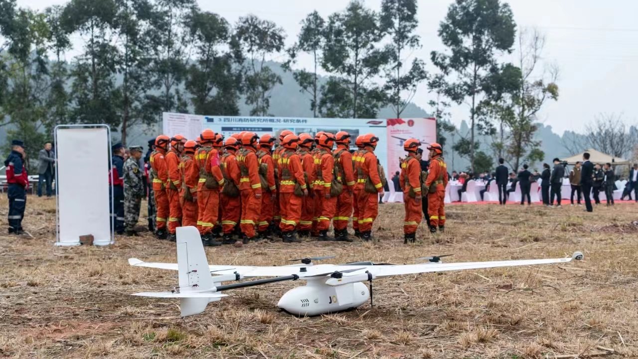
When disaster strikes, missions require rapid mobilization, specialized low-light or thermal payloads, and high-stakes decision-making.
- Nighttime Search & Rescue: $700 – $5,000+ per mission (scaling with mobilization time and duration).
- Disaster Mapping: $500 – $1,500 per incident.
- Crime Scene / Accident Reconstruction: $500 – $1,500 per case.
What drives cost: Urgency, mission complexity, and specialized sensor payloads. Clear communication regarding risk and immediate deployment windows justifies premium emergency rates.
Why Hardware Matters in High-End Industrial Missions?
When you move into large-scale mapping and heavy industrial inspections, consumer-grade gear hits a hard wall. You simply can't cover thousands of acres or map remote utility corridors with a 25-minute battery life.
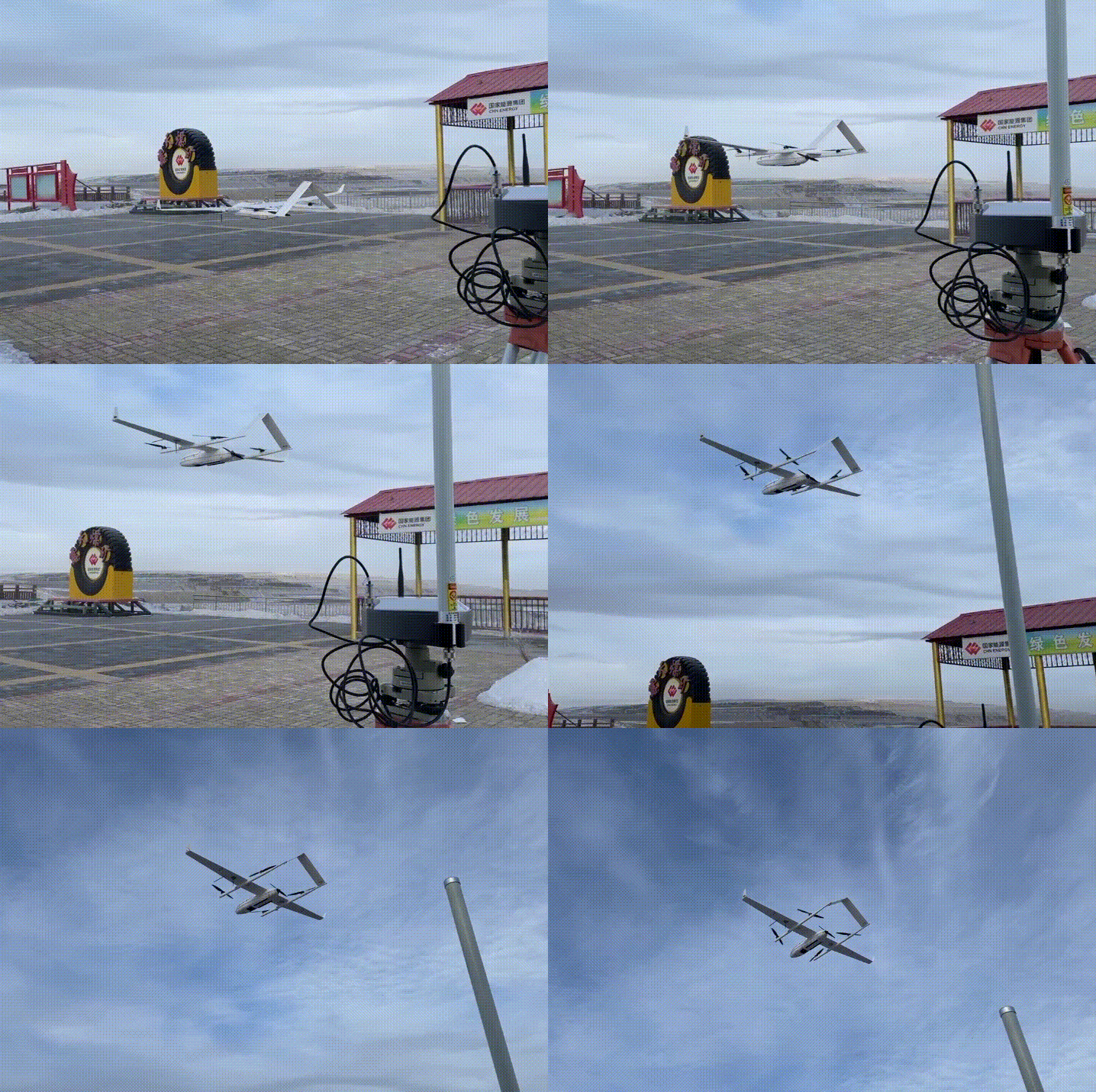
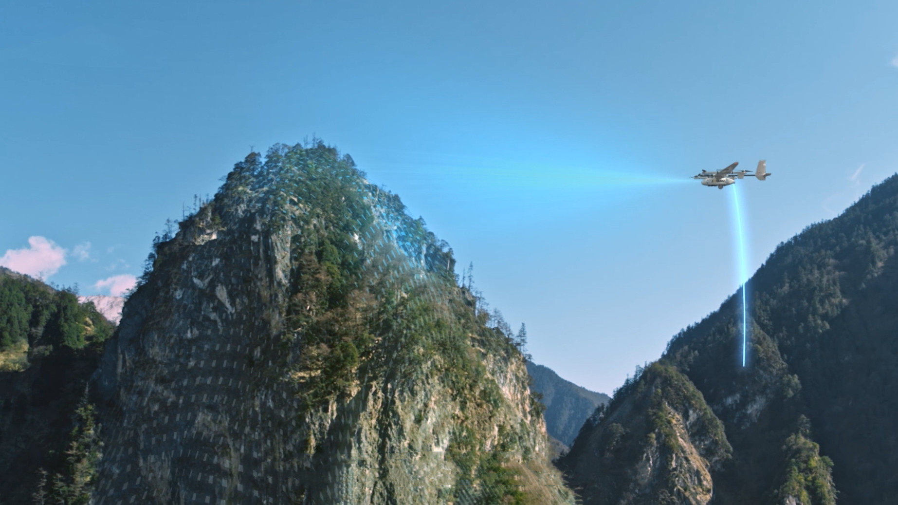
This is where professional operators turn to industrial-grade platforms like JOUAV’s VTOL UAVs. By combining the vertical takeoff flexibility of a multirotor with the efficiency of a fixed-wing aircraft—offering flight times from 1 to 35 hours and maximum capacities spanning 6.8kg to 2,200 kg—these systems completely change what's possible in a single mission.
For service providers, upgrading to enterprise hardware isn't just about better specs; it's a business model shift. When your aircraft can handle massive, uninterrupted footprints, your operational limits disappear. You stop fighting over meager hourly rates and start landing the high-ticket enterprise contracts that lower-tier operators simply cannot touch.
What Factors Affect Drone Services Pricing?
You've seen the numbers. Now let's talk about why prices vary so much.
A roof inspection might cost $250. A bridge inspection could run $2,000+. The gap isn't just about flight time — it's about a whole set of factors that push pricing up or down.
Here's what actually moves the needle.
Equipment Cost
This is the most obvious factor, but it's rarely just about the aircraft. A basic consumer drone for real estate is a $1,000 investment. An industrial-grade platform with high-end thermal or LiDAR sensors can run $10,000 to $50,000+.
Every flight puts wear on motors, batteries, and sensors. Professionals price their services to account for equipment depreciation and ongoing maintenance. That's why a pilot flying a $15,000 Matrice 4T charges more than someone with a $1,500 Mavic Mini — the investment is different.
Labor
This is the most common mistake new pilots make: they only charge for time in the air. In reality, that's often the shortest part of the job.
- Pre-flight: Airspace checks, flight planning, safety briefings
- On-site: Setup, battery swaps, ground-station management
- Post-production: Editing, stitching orthomosaics, analyzing thermal data
- Client handling: Communication, revisions, admin
Mapping specialists, for instance, charge $20–30 more per hour than basic photography pilots because of the sheer volume of post-processing required after the aircraft lands.
Data Processing & Storage
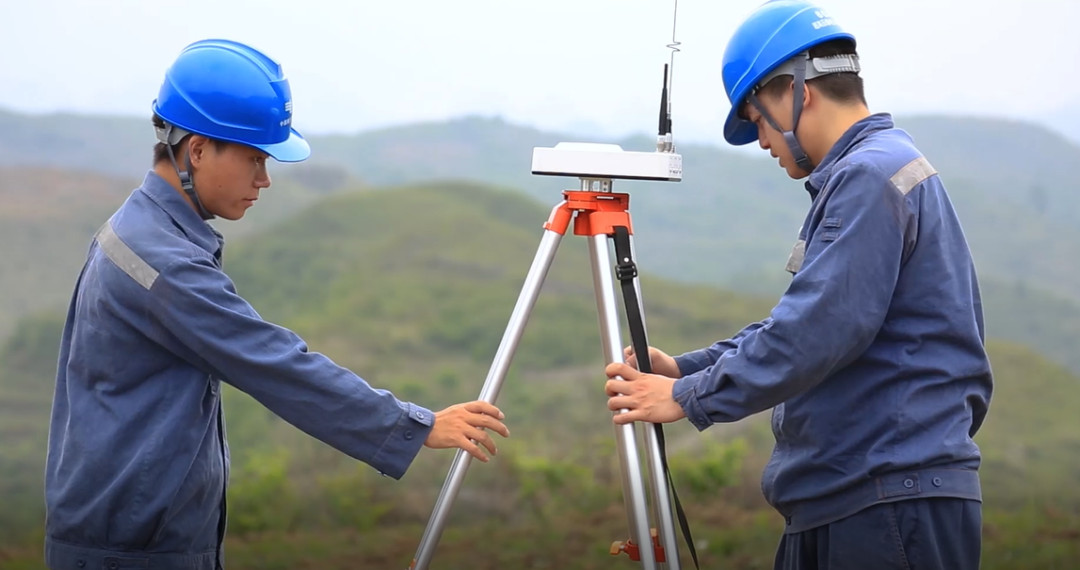
Mapping and industrial inspections generate massive amounts of data. Processing that data into usable 3D models, point clouds, or thermal reports requires expensive software licenses — Pix4D and Agisoft cost thousands of dollars per year. There's also the cost of high-speed cloud hosting for client file delivery. If your project produces terabytes of data, those costs need to be built into your quote.
Insurance
Liability insurance is a non-negotiable cost. A standard $1M policy is the baseline, but many industries — mining, energy, critical infrastructure — require pilots to carry $2M to $5M in coverage. That level of drone insurance isn't cheap, and the premium reflects the heightened risk the pilot is carrying. Those costs show up in the quote.
Travel & Logistics
It's easy to forget the "hidden miles." Travel costs include fuel, mileage (usually $0.50–$1.00 per mile beyond a local radius), tolls, and overnight accommodations for remote projects. If a site is in a difficult, inaccessible location, that access risk adds another layer of cost.
Special Permits & Airspace Authorizations
Flying in controlled airspace, at night, or conducting BVLOS missions often requires FAA waivers or local permits. The administrative work of securing these authorizations — and coordinating with local airports or agencies — is a billable service. Many operators charge a flat "compliance fee" ($50–$150) for flights requiring extra paperwork.
Rush Fees
If a client needs raw data or a finished edit within 24 hours to meet a marketing deadline or respond to an urgent issue, you're likely disrupting your schedule and working overtime. Standard practice is to add a 20–50% rush fee on top of your base rates for expedited turnarounds.
Market Location
Geography matters. The same mapping mission that pays $500 in a rural area might command $1,500 in a high-cost metropolitan market. Your pricing needs to align with local cost of living and prevailing competitive rates. Don't base your prices on rates from halfway across the country; base them on the reality of your specific market.
How to Calculate Your Drone Services Pricing?
There's a big difference between market rates (what the industry charges) and your rates (what you actually need to charge to survive and turn a profit). The previous section gave you the benchmarks. This section gives you the math.
If you just copy what your local competitors are charging without checking your own numbers, you could be bleeding money on every flight without realizing it.
Here's a straightforward, step-by-step framework to calculate a profitable price for your drone services.
Step 1 — Calculate Your True Operating Costs (The Floor)
Before you can make a profit, you need to know what it costs just to keep your business open.
Add up your annual overhead expenses:
- Equipment & depreciation: Drones, batteries, props, payload sensors, computer hardware
- Insurance & legal: Liability policies, hull coverage, LLC fees
- Software subscriptions: Photogrammetry suites (Pix4D, Metashape), video editing tools, cloud storage
- Marketing & admin: Website hosting, CRM tools, accounting software, continuing education
Divide your total annual costs by 12 to get your monthly overhead.
Step 2 — Estimate Your Billable Hours
This is where many new operators fail. They assume they'll bill 40 hours a week, 52 weeks a year.
In reality, a commercial drone pilot spends a significant chunk of their time on unbillable tasks — marketing, answering emails, maintaining gear, driving to sites, and doing test flights.
A realistic estimate for a full‑time independent operator is 15 to 25 billable hours per week.
Break every project into four time blocks:
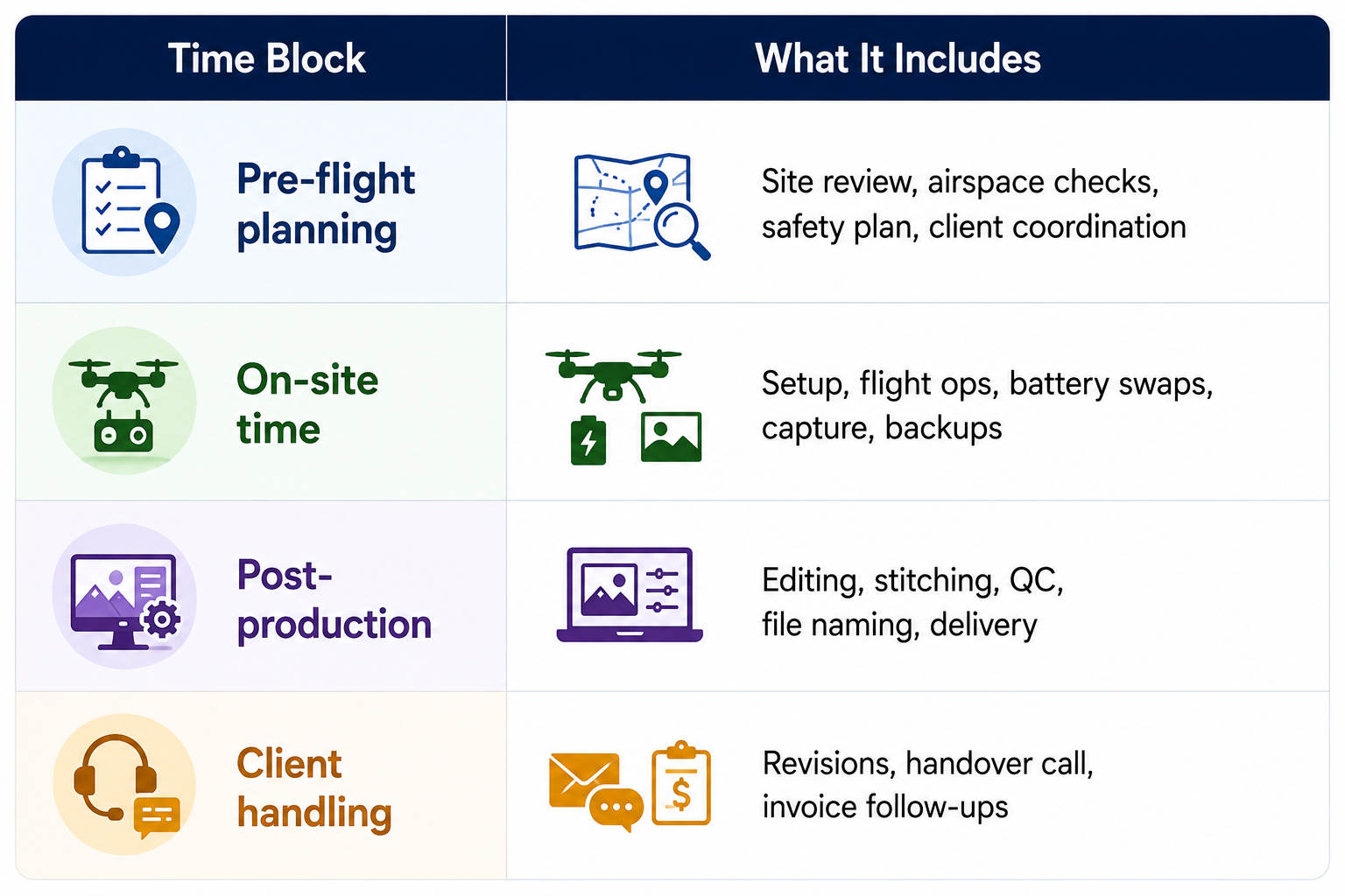
Mapping specialists typically charge $20–30 more per hour than basic photography pilots simply because of the sheer volume of post‑processing time required after the aircraft lands.
Step 3 — Calculate Your Minimum Viable Rate (MVR)
Your minimum viable rate is the absolute lowest hourly rate you can charge to cover your overhead and pay yourself a modest living wage.
The formula:
Hourly MVR = (Monthly Overhead + Desired Monthly Salary) ÷ Billable Hours Per Month
Example:
- Monthly business expenses: $2,000
- Desired monthly salary: $5,000
- Total needed: $7,000
- Billable hours per month: 80 (20 hours/week × 4 weeks)
- MVR = $7,000 ÷ 80 = $87.50/hour
This is your break-even rate. If you charge less, you're losing money. Period.
Step 4 — Add Your Profit Margin & Risk Buffer
If your MVR is $87.50, that means you're surviving — but you're not growing. You aren't setting aside cash for your next drone upgrade or weathering a slow month.
This is where you layer on your profit margin (typically 20–40%) and adjust for project risk:
- Standard jobs (low risk): Add 20–25%
- Complex jobs (medium risk): Add 30–35%
- High‑risk jobs (tight airspace, critical infrastructure, remote sites): Add 40%+
Example: MVR $87.50 + 30% profit margin = $113.75/hour target rate.
Step 5 — Translate Your Hourly Rate into Project Quotes
Clients rarely want to hire someone by the hour for a mapping or real estate gig — they want a flat project price.
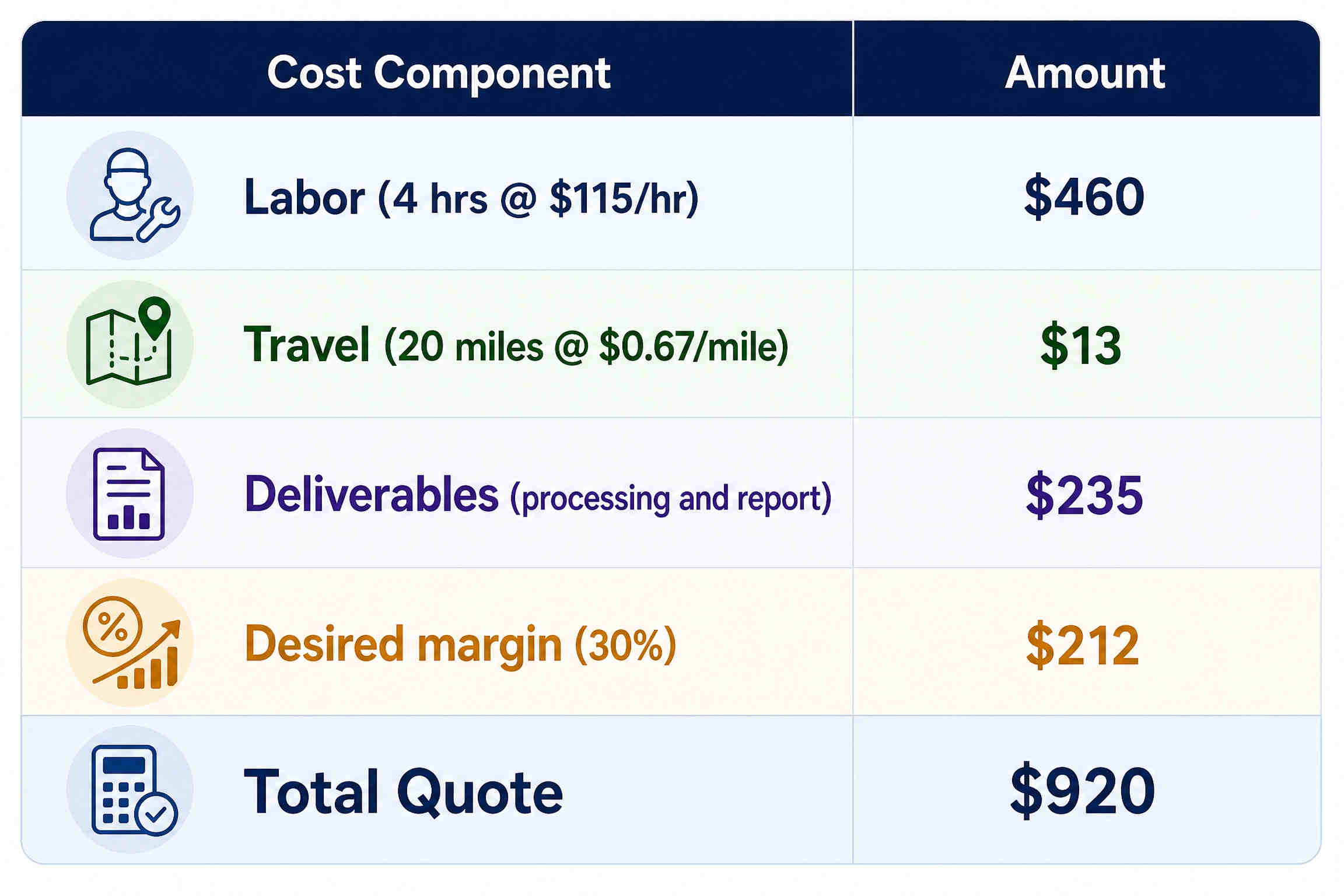
Once you know your target hourly rate (e.g., $115/hour), follow this process:
- Estimate total hours for the entire job — pre‑flight planning + on‑site flying + post‑processing + client revisions
- Multiply those hours by your target hourly rate
- Add direct out‑of‑pocket expenses — travel mileage, permit fees, extra crew costs
- Present that total as a clean, professional flat project fee
Example (from a real pricing calculator):
Read More
Here’s something most people don’t think about: someone has to climb those cell towers you see along the highway.
Tower climbers ascend hundreds of feet—often in wind, heat, and hazardous
Yeah, you’ve probably seen those LiDAR maps—the ones that strip away trees to reveal ancient ruins or show cityscapes in stunning 3D detail. They’re impressive.
But here’s a question

JOUAV Product News and Use Cases
Fixed-Wing VTOL Drones Insights and Industry Trends
Invitations to online demo events
 English
 中文
中文