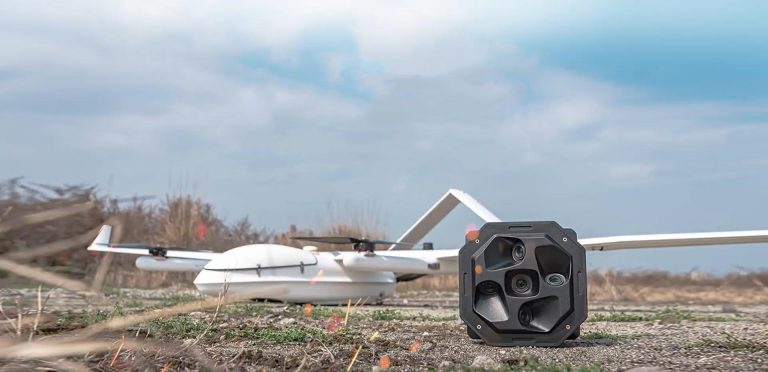
In a groundbreaking collaboration between JOUAV and Rainpoo Technology, a series of flight demonstrations were recently conducted in Chinese cities using the CW-25E VTOL UAV equipped with the DG10 obl
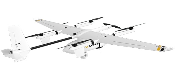
Our Advanced Drones
Flexible UAV solutions for different mapping missions
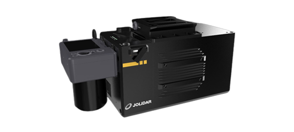
Our Lidar Solutions for Surveying and Mapping
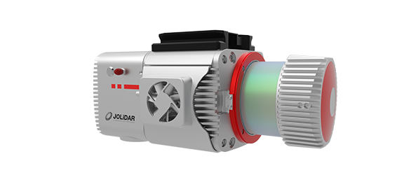
JoLiDAR-LR22
JoLiDAR-LR22 is a lightweight and long-range laser scanner for UAV surveying.
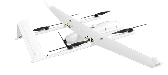
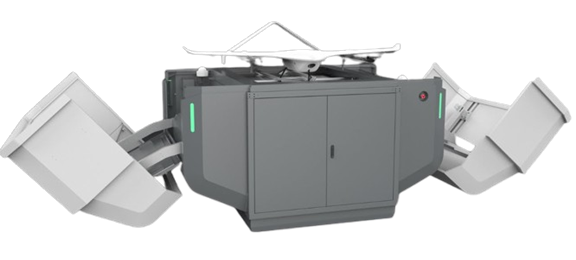
Our Fully Automated Drone Solutions
JOUAV Drones Use Case
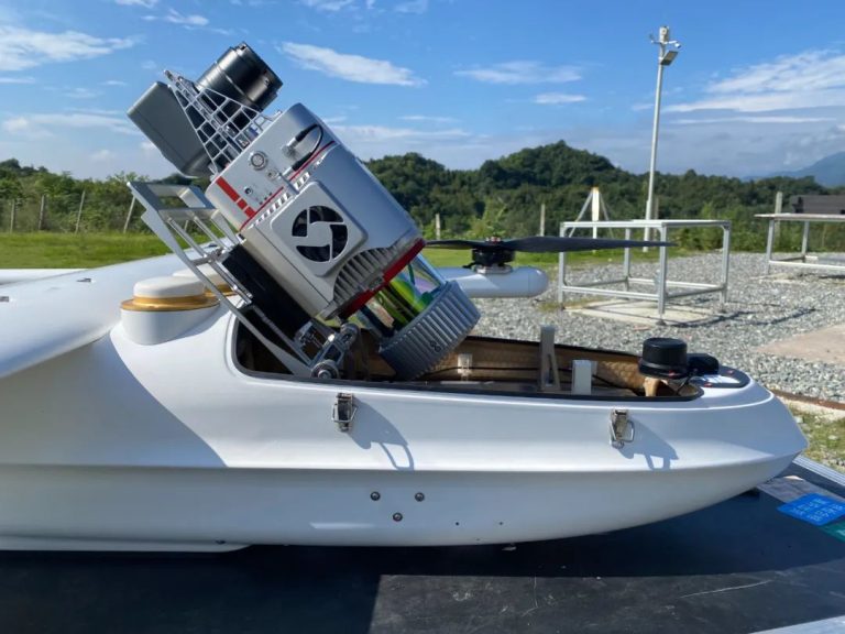
On May 16, 2023, Beijing Anzhou Technology Co., Ltd. conducted a flight test in an agricultural demonstration area in Yanzhou District, Jining City, Shandong Province. The goal of the flight test was
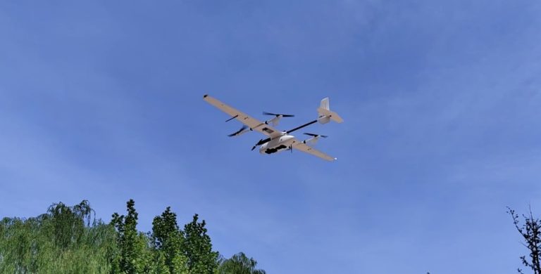
The Yunnan Bureau of Nonferrous Geology used CW-25E to collect laser point cloud and orthophoto data of 950km² of forest in Yunnan Province, China, in just 8 hours. The captured 3D point cloud data he

More information about JOUAV and our drones
Provide the suitable solution for your needs
Help for your project promotion
Get a product quote