At 2:27 PM on a storm-lashed afternoon in July 2025, a small fishing boat capsized off the coast of Gulei, Zhangzhou.
Two men were thrown into violent waters. Winds howled at gale force. Waves surged
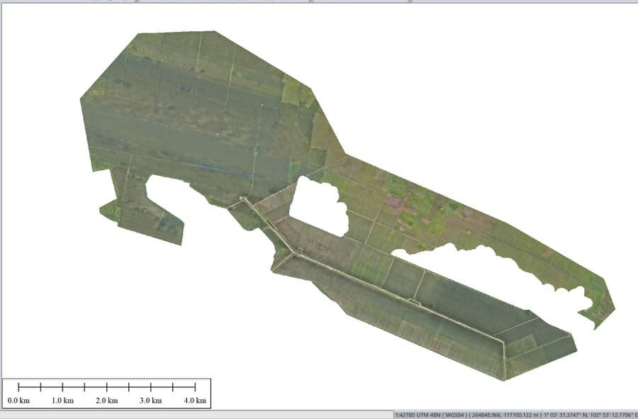
When TotalEnergies set out to build one of Southeast Asia’s largest solar and battery storage projects—spanning 12,000 hectares across the dense acacia forests of Riau, Indonesia—they faced a problem that had nothing to do with solar panels.
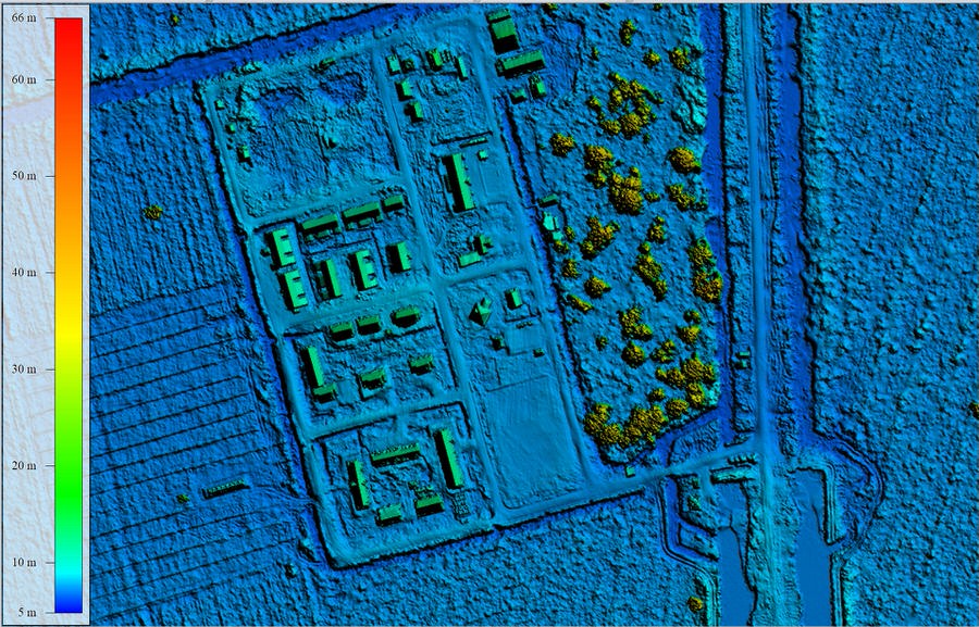
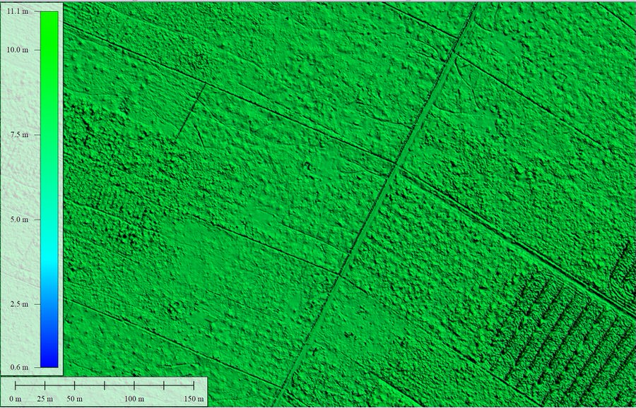
Before you can build a utility‑scale solar farm, you need to know exactly what’s under the ground. Every drainage ditch. Every small watercourse. Every subtle change in elevation that could affect panel layout or flood risk.
The problem? The site was covered in thick, mature forest. Ground access was limited, and the area was home to tigers and crocodiles. Traditional surveying would have taken months and put crews at risk.
So TotalEnergies called MSDI.
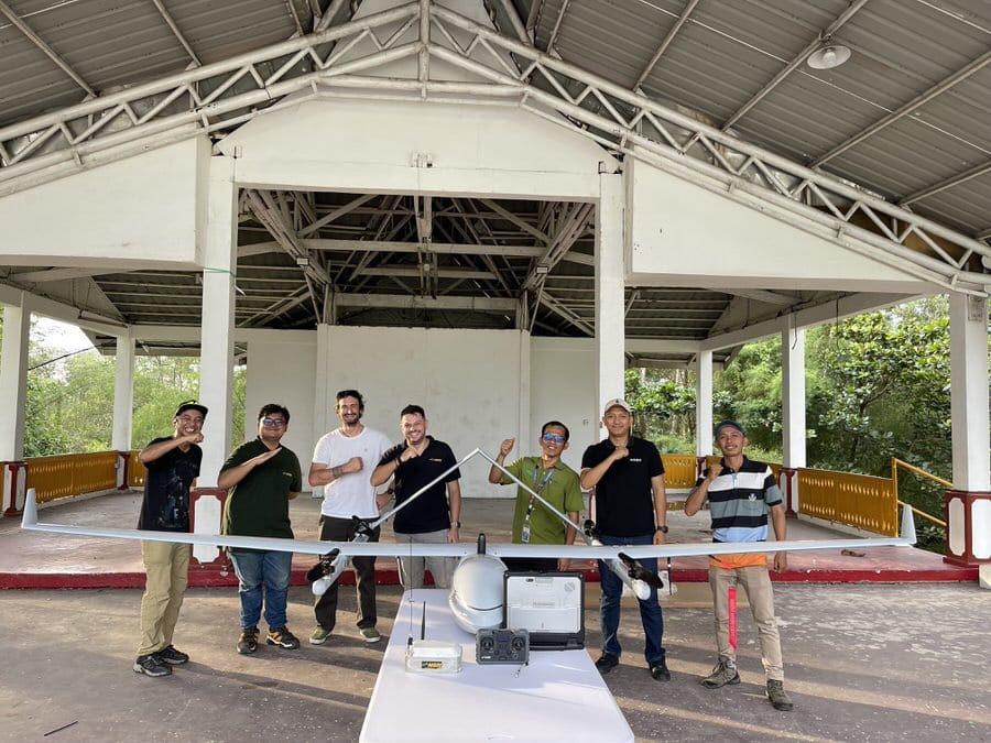
The right tool for a ridiculous amount of land
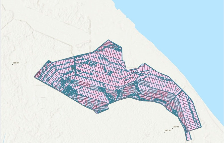
MSDI is a geospatial service company that’s used to big projects, but even they knew this one was different. 12,000 hectares is a massive area. And the client needed engineering‑grade LiDAR data—not just a rough map, but precise terrain models that could support detailed civil and electrical design.
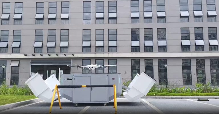
They chose the JOUAV CW‑25E as their primary platform. It’s a VTOL fixed‑wing drone built specifically for this kind of industrial mapping job. Here’s why it mattered:
- It can stay in the air for 210 minutes—enough time to actually cover a real distance.
- It cruises at 70 km/h, which means it eats up hectares fast.
- It carries a 6 kg payload, so they could mount a high-end Yellowscan Voyager LiDAR sensor without compromising flight performance.
- In practice, that translated to over 2,100 hectares per flight.
That last number is key. With that kind of coverage per sortie, a 12,000‑hectare site becomes a manageable operation—not a months‑long ordeal.
"The organization and file naming were very clear"
“MSDI uses top‑notch equipment that is well maintained and provides accurate and reliable data. The team solved problems in record time and showed they could work in harsh conditions. For a project with so many deliverables, the file naming and organization were exactly what we agreed on from the start.”
That last part matters more than you might think. When you’re dealing with terabytes of data across thousands of hectares, having everything clearly labeled and structured saves weeks of headaches on the engineering side.
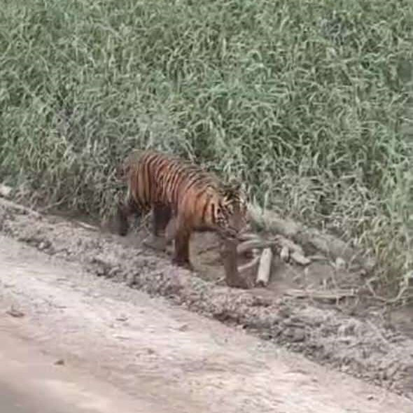
Tigers, crocodiles, and staying out of harm’s way
One detail that doesn’t show up in the technical specs: the project area is home to tigers and crocodiles. It’s the kind of environment where you really don’t want to send ground crews unless absolutely necessary.
The CW‑25E’s VTOL capability allowed the team to operate from safe launch points and cover the entire area from the air. Comprehensive safety protocols were put in place, and the combination of long‑range UAVs and smart flight planning meant minimal ground exposure in high‑risk zones.
More Use Cases


Chongqing’s Qinba Mountains are basically a giant green wall protecting the region. But there’s a problem – pine wood nematodes are eating through it. Fast.
The forestry department n
In the early hours of December 3, 2025, a landslide tore through Qixing Town in Chongqing, violently displacing roads and buckling the ground beneath a critical section of National Highway G318.
As th

JOUAV Product News and Use Cases
Fixed-Wing VTOL Drones Insights and Industry Trends
Invitations to online demo events