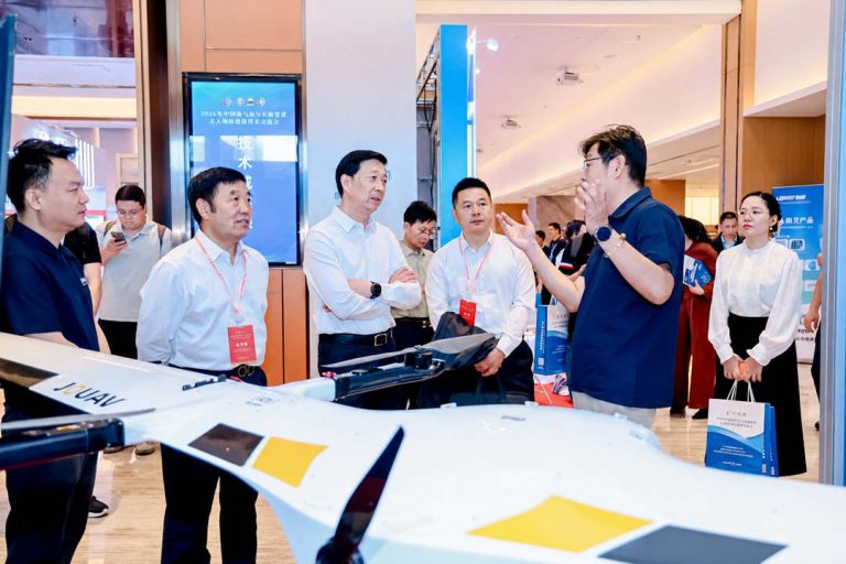
TIANJIN, China, June 12, 2026 – JOUAV participated in the 2026 China Oil & Gas Pipeline Unmanned Technology Exchange Conference, held in Tianjin from June 11–12, where the company showcased its au
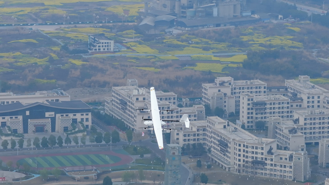
CHENGDU, China – June 2, 2026 – As transmission lines increasingly traverse mountainous regions, canyons, and other geologically complex areas, they face constant threats from landslides, debris flows, and ground subsidence. To address these challenges, JOUAV has introduced its Large-Area Power Grid Geological Hazard Survey Solution, combining the CW-15 UAV with a miniaturized synthetic aperture radar (MiniSAR) to deliver automated, end-to-end disaster monitoring for power infrastructure.
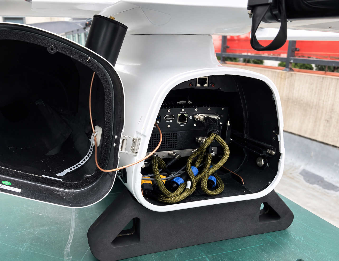
MiniSAR payload unit inside the CW-15 drone cabin
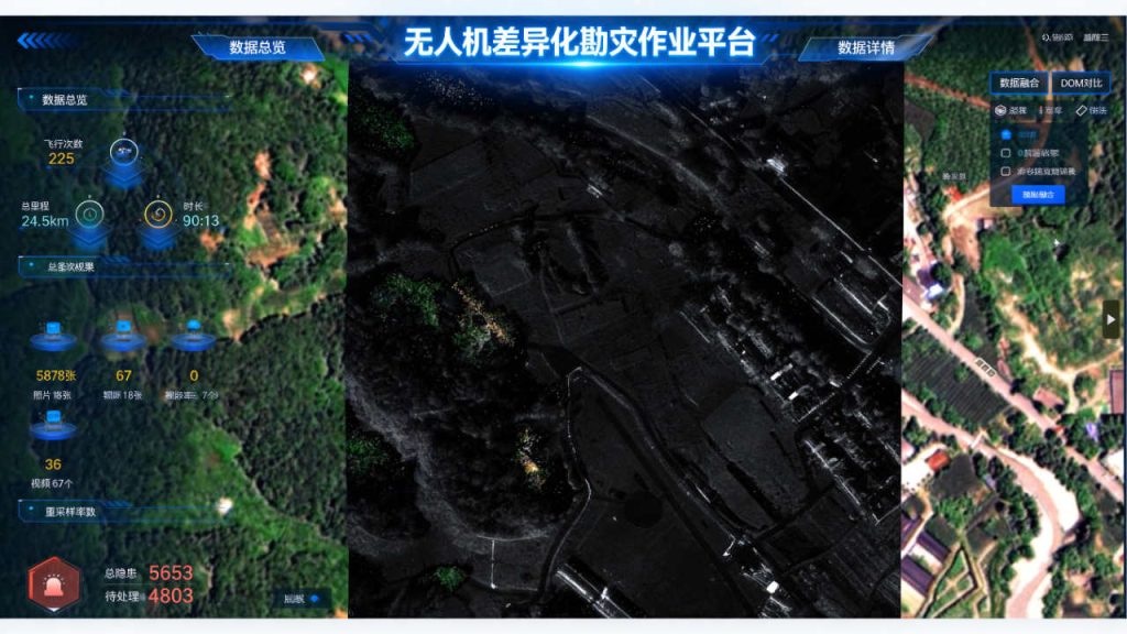
The solution integrates intelligent flight planning, multi-source data fusion, and an all-in-one operational platform, enabling full-process automation from data acquisition to hazard analysis. It is designed to monitor extensive power transmission corridors with round-the-clock, high-precision capabilities.
Rapid Deployment When Every Minute Counts
The lightweight MiniSAR is deeply integrated into the CW-15 drone, allowing a single operator to complete setup and disassembly in under 10 minutes. This rapid-deployment design ensures that emergency response teams can dispatch the system immediately after a disaster strikes, without logistical delays.
Through smart flight route planning, multi-drone coordination, and multi-source data fusion, the solution balances wide-area patrol efficiency with high-precision monitoring of critical zones.
One-Station Workflow from Flight to Report
A dedicated software platform consolidates drone navigation, SAR data acquisition, hazard identification, and report generation into a single system. This one-stop workflow—from route planning to data processing and final output—dramatically improves emergency monitoring efficiency.
By fusing SAR imagery, visible-light images, 3D terrain models, DEM data, and historical inspection records, the system can accurately identify geological hazards such as landslides and cracks. This enables early detection, rapid assessment, and timely response—turning days of analysis into hours of actionable intelligence.
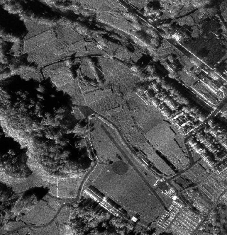
SAR imagery
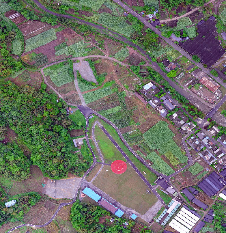
RGB imagery
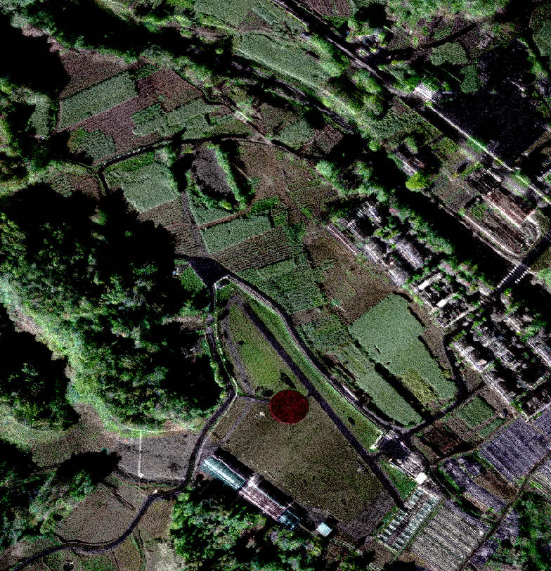
SAR and visible light fusion imagery
Read More

KUNMING, June 11, 2026 – JOUAV, a leading global provider of industrial drone solutions, today announced its participation in the 10th China-South Asia Expo (CSAE), held in Kunming Dianchi Internation
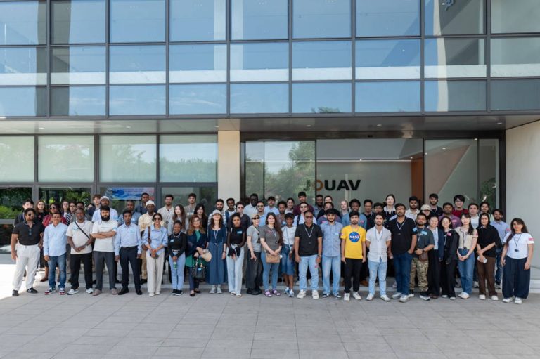
CHENGDU, June 4, 2026 – JOUAV, a leading global provider of industrial drone solutions, welcomed a group of international students and faculty to the company’s JOUAV Tech Park for an enterprise study

JOUAV Product News and Use Cases
Fixed-Wing VTOL Drones Insights and Industry Trends
Invitations to online demo events