Benefits and Features
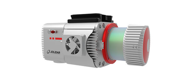
JoLiDAR-1000 is your go-to solution for mapping and power line inspections in challenging terrain. With integrated cutting-edge components like a laser scanner, GNSS high-precision positioning system, inertial navigation system, high-speed data acquisition system, and half-frame camera, JoLiDAR-1000 delivers unrivaled measurement accuracy.

High Precision
Achieve 5cm accuracy at a distance of 300m.

Efficient Coverage
Up to 25km² in a single flight with CW-15 drone (50% overlap, 200m relative height).

7 Returns
Capture more ground points, even in densely vegetated areas.
Detection Range
Detect objects up to 1000m away at 80% reflectivity.

No Base Station or GCP Required
Operates freely over large areas without compromising accuracy.

Real-Time Control
Monitor and control your LiDAR with ease using JOUAV FlightSurv.
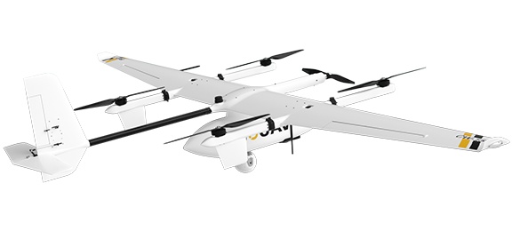
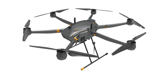
Compatible Drones
Integrating the JoLiDAR-1000 scanner with a drone makes it simpler and more affordable to use LiDAR technology. JOUAV offers a range of compatible drones specifically designed to work with the JoLiDAR-1000 scanner.
Other Payloads
JOUAV is constantly updating its cameras and enriching its product lineups to provide a better data results and to meet customers' needs.
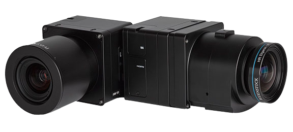
PhaseOne iXM Series Camera
High-resolution medium format cameras for mapping and surveying
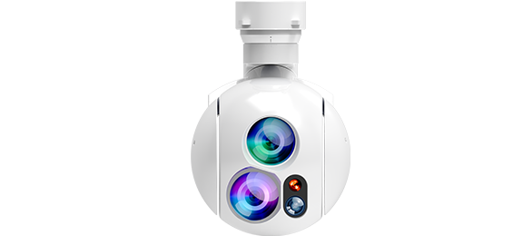
MG-120E EO/IR/LR Gimbal Camera
Lightweight 3-axis 30X optical zoom and thermal imaging with laser rangefinder
JoLiDAR-LR22
JoLiDAR-LR22 is a lightweight and long-range laser scanner for UAV surveying.

More information about JOUAV and our drones
Provide the suitable solution for your needs
Help for your project promotion
Get a product quote