You glance at the METAR report:KJFK 031452Z 28022G35KT 1/4SM +TSRA OVC005CB 18/16 A2987 RMK AO2It looks like aviation's secret code—and you're not alone if you feel overwhelmed.Many aviation trainees
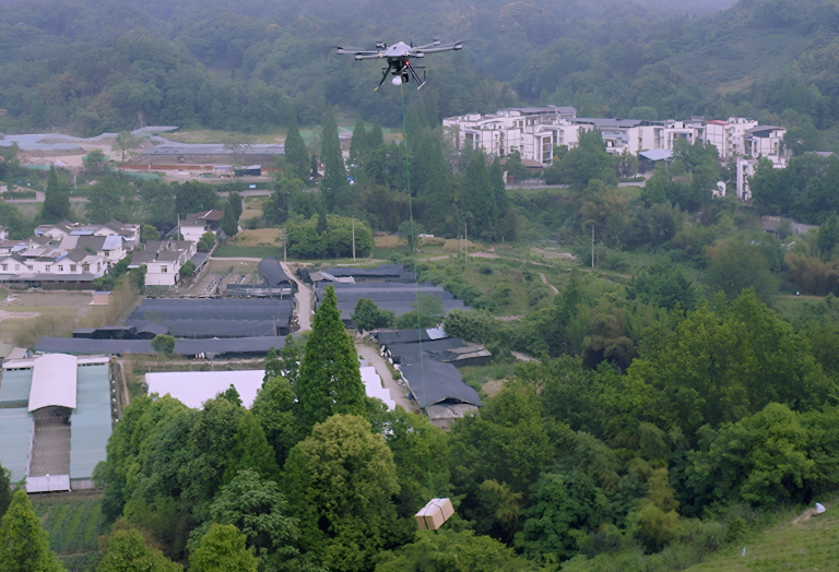
How much weight can a drone fly?Here is the answer:Physically, consumer drones can carry 0.2 kg to 2 kg (0.4–5.5 lbs), while heavy-lift models like the CW-80E handle up to 25 kg (55 lbs). Industrial g
In 2018, researchers in Guatemala used airborne lasers to expose over 60,000 hidden Maya structures—farmsteads, fortresses, and even highways—transforming our understanding of one of history's most en
Ever wondered how airplanes stay stable in turbulent skies, how drones maintain perfect aerial shots, or how autonomous vehicles navigate complex environments with unwavering accuracy?Simply put, AHRS
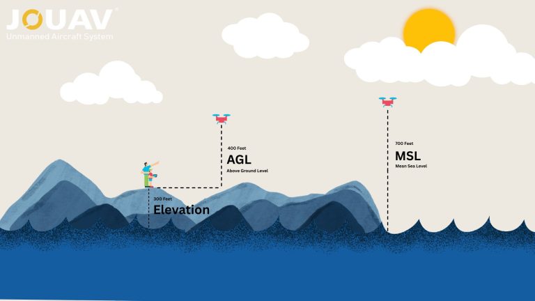
In aviation, precision isn’t just a goal—it’s a necessity. Every altitude reading, flight path, and safety protocol hinges on understanding two critical measurements: Mean Sea Level (MSL) and Above Gr
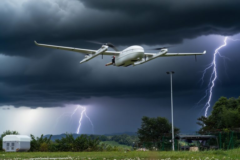
So, you're wondering if you can fly your drone in the rain. The answer is generally a resounding NO. Most drones—especially consumer models like the DJI Mini or Air series—aren’t waterproof.Rain can f
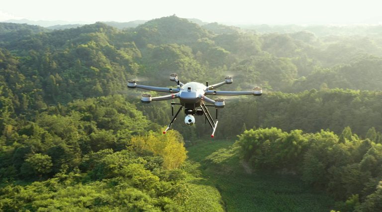
With their six-propeller design, hexacopters stand out for their stability, payload capacity, and flight redundancy. This makes them a powerful choice for aerial photography, precision agriculture, in
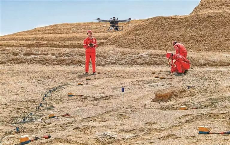
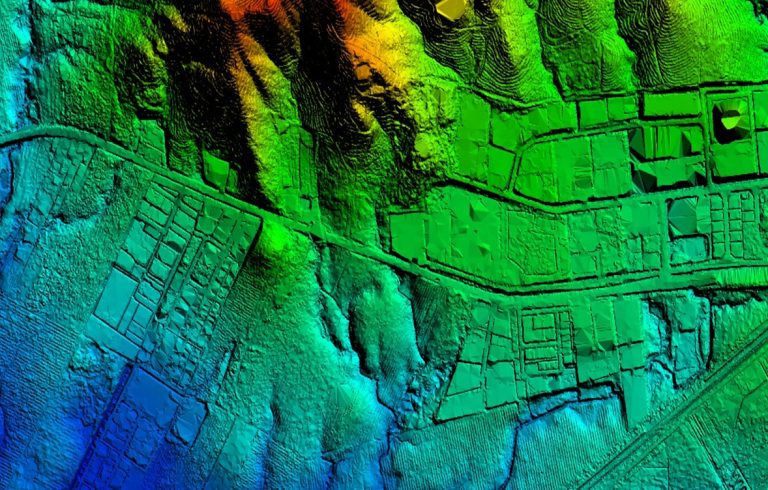
What is a Seismic Survey?
What is a Seismic Survey?A seismic survey is a geophysical technology that uses sound waves to create detailed images of the Eart

In an era where 97% of homebuyers begin their property hunt digitally, the battle for attention hinges on visuals that stop scrolls and spark curiosity.Gone are the days of static ground-level photos—

JOUAV Product News and Use Cases
Fixed-Wing VTOL Drones Insights and Industry Trends
Invitations to online demo events