The drone industry is no longer just about hobbyists capturing cool aerial shots—it’s now a multibillion-dollar market that’s transforming how businesses operate worldwide.According to Drone Industry
Here's the truth about drone flying: even the best pilots have close calls. A system error, a sudden weather change—these things are often out of your control, but the repair bills or liability claims
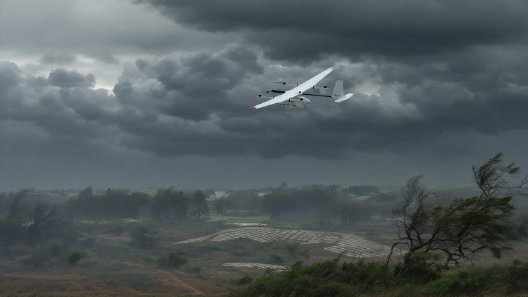
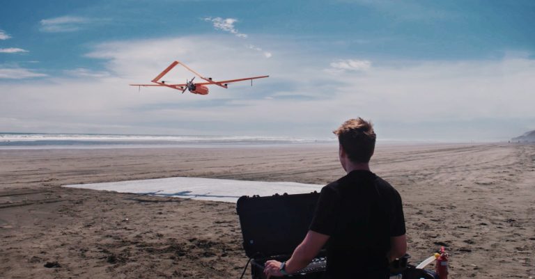
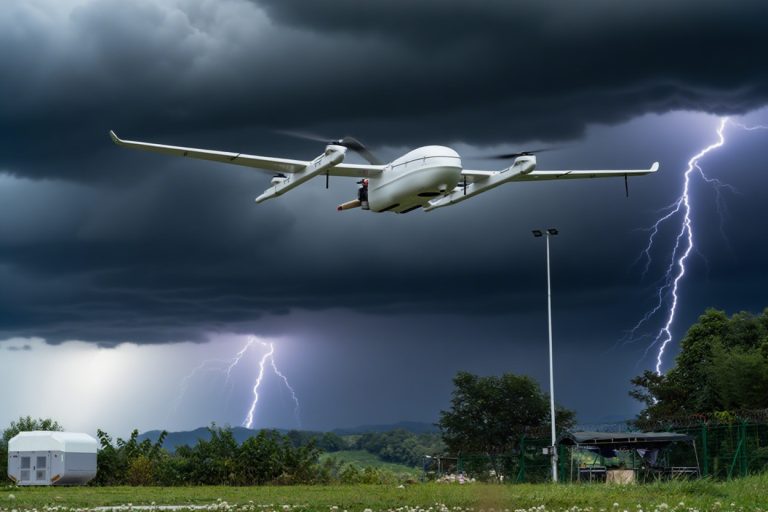
For commercial users working in surveying, mapping, inspections, or emergency response, wind isn’t just a nuisance—it’s a mission-critical factor. A drone’s ability to resist wind determines whether i
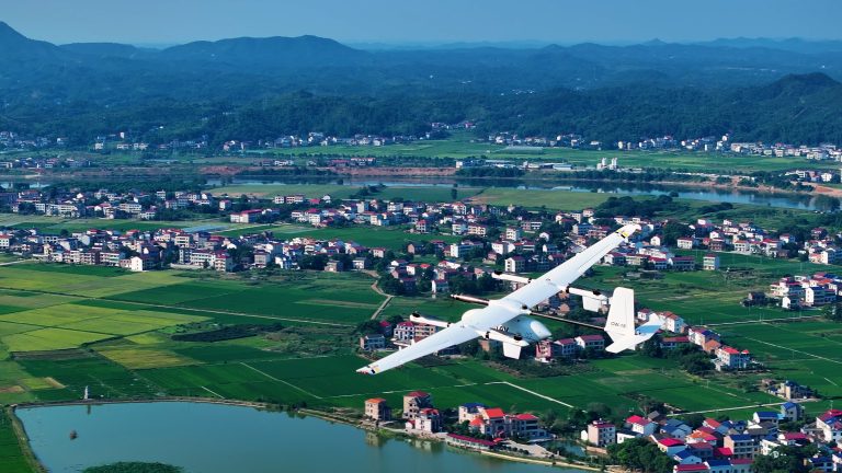
Drones, or unmanned aerial vehicles (UAVs), are small, remote-controlled aircraft used for everything from surveying land to delivering packages and providing critical data. According to the AP analy
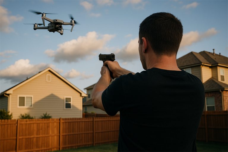
Ever had your drone shot down?It sounds extreme—but it’s happening more often than you’d think. Whether you're flying for work, research, or recreation, there’s always a small risk that someone might
Flying a drone beyond visual line of sight (BVLOS) unlocks powerful advantages—from saving time and cutting costs to reaching dangerous or remote areas without putting people at risk. But with these b
You glance at the METAR report:KJFK 031452Z 28022G35KT 1/4SM +TSRA OVC005CB 18/16 A2987 RMK AO2It looks like aviation's secret code—and you're not alone if you feel overwhelmed.Many aviation trainees
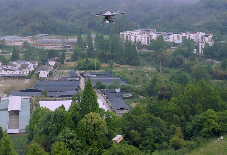
How much weight can a drone fly?Here is the answer:Physically, consumer drones can carry 0.2 kg to 2 kg (0.4–5.5 lbs), while heavy-lift models like the CW-80E handle up to 25 kg (55 lbs). Industrial g
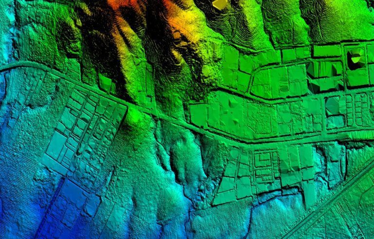
In 2018, researchers in Guatemala used airborne lasers to expose over 60,000 hidden Maya structures—farmsteads, fortresses, and even highways—transforming our understanding of one of history's most en

JOUAV Product News and Use Cases
Fixed-Wing VTOL Drones Insights and Industry Trends
Invitations to online demo events