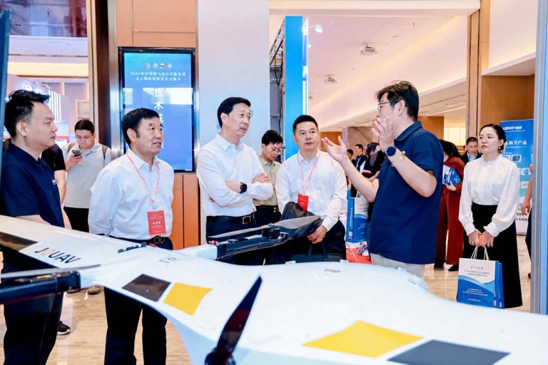
TIANJIN, China, June 12, 2026 – JOUAV participated in the 2026 China Oil & Gas Pipeline Unmanned Technology Exchange Conference, held in Tianjin from June 11–12, where the company showcased its au
JOUAV is proud to announce the expansion of its popular JoLiDAR series with the introduction of two innovative drone LiDAR sensors – the JoLiDAR-1000 and JoLiDAR-120.
These cutting-edge sensors offer unmatched precision, efficiency, and ease of use, empowering professionals in various industries to capture high-quality data and achieve remarkable results.
JoLiDAR-1000: Conquer Challenging Terrain with Unparalleled Accuracy
Designed to excel in demanding environments, the JoLiDAR-1000 boasts unrivaled precision of 5cm at 300m, allowing users to capture exceptionally detailed data in complex landscapes like mountainous regions or dense forests.
Its 1000m detection range ensures comprehensive data collection, even in areas with limited visibility.
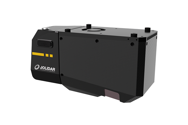
Furthermore, the JoLiDAR-1000 eliminates the need for base stations or ground control points (GCPs), offering operational flexibility and reduced setup time. This streamlined approach makes it ideal for rapid deployments in remote locations.
Additionally, the integrated half-frame camera and real-time control with JOUAV FlightSurv software provide enhanced data visualization and mission management capabilities.
Key benefits of JoLiDAR-1000:
- Capture intricate details in challenging terrain.
- Gather comprehensive data from dense vegetation.
- Reduce setup time and increase operational flexibility.
- Gain real-time insights and control over missions.
JoLiDAR-120: Streamline Corridor Mapping with Efficiency and Precision
The JoLiDAR-120 is specifically tailored for professional corridor mapping applications, such as power line inspections, pipeline surveys, and highway construction monitoring.
This advanced sensor combines high-precision LiDAR, a high-accuracy IMU, and a 26MP RGB camera to deliver exceptional data quality and streamlined workflows.
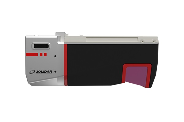
The JoLiDAR-120 offers industry-leading precision of 10mm and accuracy of 5mm, ideal for capturing intricate details in corridors.
Its innovative NFB scanning ensures comprehensive 3D data capture, accurately representing even vertical surfaces like cliffs or walls.
Additionally, the sensor boasts a long operating range of up to 1430m and 1TB of internal storage, making it suitable for extensive mapping projects.
Key benefits of JoLiDAR-120:
- Capture highly detailed data for accurate corridor mapping.
- Increase efficiency with streamlined data collection.
- Store large datasets with ease thanks to the ample internal storage.
Eric Lee, product manager at JOUAV, stated: "The JoLiDAR-1000 and JoLiDAR-120 represent a significant leap forward in LiDAR technology. These powerful systems empower professionals with the tools they need to capture accurate and detailed data across diverse applications. We are confident that these innovative solutions will further solidify JOUAV's position as a leader in the drone LiDAR market."
Read More
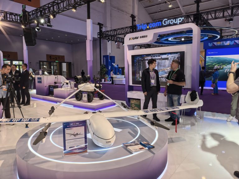
KUNMING, June 11, 2026 – JOUAV, a leading global provider of industrial drone solutions, today announced its participation in the 10th China-South Asia Expo (CSAE), held in Kunming Dianchi Internation
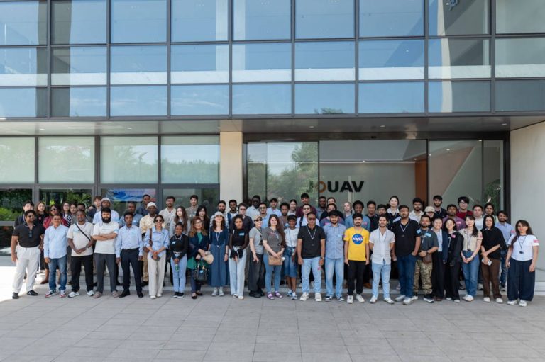
CHENGDU, June 4, 2026 – JOUAV, a leading global provider of industrial drone solutions, welcomed a group of international students and faculty to the company’s JOUAV Tech Park for an enterprise study

JOUAV Product News and Use Cases
Fixed-Wing VTOL Drones Insights and Industry Trends
Invitations to online demo events