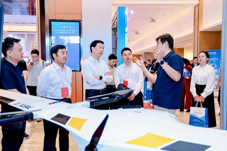
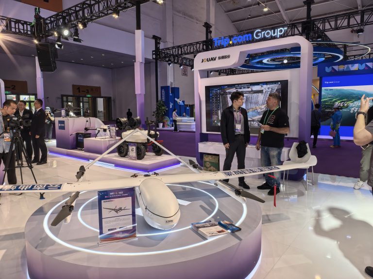
TIANJIN, China, June 12, 2026 – JOUAV participated in the 2026 China Oil & Gas Pipeline Unmanned Technology Exchange Conference, held in Tianjin from June 11–12, where the company showcased its au
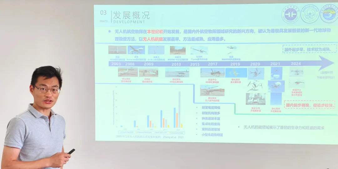
JOUAV recently hosted an in-depth training session led by Lu Ning, a senior engineer from the Institute of Geophysical and Geochemical Exploration (IGGE). The event, which focused on airborne magnetic survey technologies, is part of JOUAV's commitment to supporting China's "New Round of Strategic Mineral Prospecting" initiative.
As a leader in industrial UAVs, JOUAV is dedicated to providing integrated "sky-to-ground" solutions to enhance national resource security. The training not only deepened the team's technical knowledge but also reinforced our ability to innovate and respond to the growing demand in the airborne prospecting market.
The IGGE, a national research institute under the China Geological Survey, is at the forefront of mineral exploration and industry standards. Its self-developed high-precision aeromagnetic instruments are widely recognized as some of the most advanced in China.
During the session, Lu Ning shared insights on the fundamentals of aeromagnetic surveying, UAV deployment, and evolving industry needs. He also highlighted a key success story from 2020, where a JOUAV CW-30 drone successfully replaced a manned aircraft in a major mineral exploration project—a powerful example of the efficiency and cost-effectiveness of our drone-based solutions.
"Unmanned aerial geophysical surveys are becoming a critical tool for cutting costs and boosting efficiency," Lu noted. "JOUAV's platforms are a perfect match for our magnetic survey equipment due to their impressive stability and payload compatibility."
Proven Solutions That Deliver Results
JOUAV has built a strong track record across diverse environments, from oceans to mines.
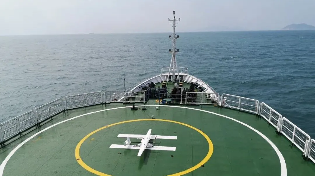
- Ocean Exploration: Our CW-15 UAV was named one of China’s Top 10 Marine Science and Technology Advances in 2019. It performed the world's first dynamic take-off and landing from a research vessel while conducting magnetic surveys, a feat that increased efficiency tenfold over traditional methods.
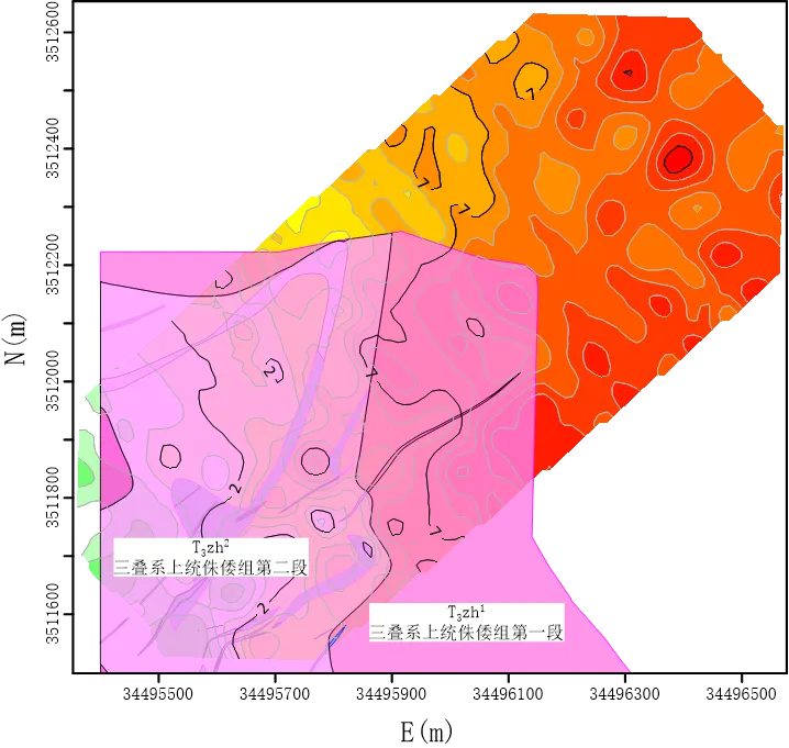
- Land Exploration: In Inner Mongolia, our CW-15 drone supported projects with major geological bureaus. The data from our low-altitude surveys showed remarkable consistency with high-precision ground surveys, while boosting operational efficiency by 80%.
- Mine Safety: In Sichuan Province, our PH-20 UAV equipped with a high-precision magnetic system enabled the early detection of geological hazards at mining sites. This collaborative project provided invaluable data for safety management, proving the immense potential of UAVs in mine safety supervision.
By deepening our expertise and leveraging partnerships with leading institutions like the IGGE, JOUAV is helping to redefine how airborne geophysics is done. We are ready to continue leading the way in delivering innovative and effective solutions that meet the evolving needs of the industry.
Read More
KUNMING, June 11, 2026 – JOUAV, a leading global provider of industrial drone solutions, today announced its participation in the 10th China-South Asia Expo (CSAE), held in Kunming Dianchi Internation
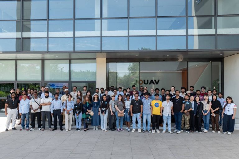
CHENGDU, June 4, 2026 – JOUAV, a leading global provider of industrial drone solutions, welcomed a group of international students and faculty to the company’s JOUAV Tech Park for an enterprise study

JOUAV Product News and Use Cases
Fixed-Wing VTOL Drones Insights and Industry Trends
Invitations to online demo events