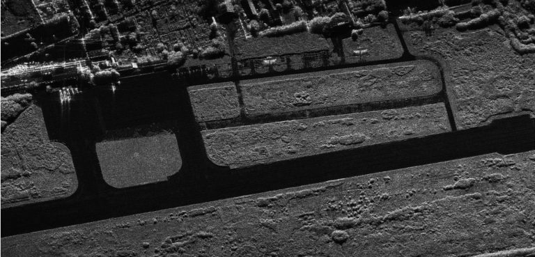
Synthetic Aperture Radar (SAR) is a revolutionary technology that has transformed the way we perceive and interact with our planet.By emitting radar waves and processing the reflected signals, SAR sys

Drug trafficking, the illicit trade involving the cultivation, manufacture, distribution, and sale of substances that are subject to drug prohibition laws, is a global issue causing significant harm.
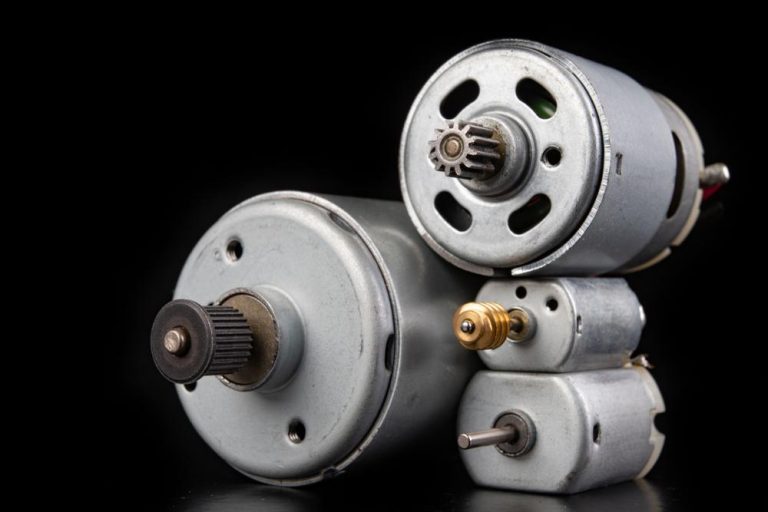
When it comes to drones, the type of motor you choose can make a world of difference. Many motion control applications use permanent magnet DC motors because they simplify control systems compared to

Ever driven on the road and noticed it's not perfectly flat? That subtle tilt from the center outwards is called camber in roads, and it's a clever engineering trick most drivers don't even realize is
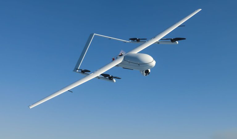
Drones are no longer science fiction; they're buzzing everywhere! But how fast can drones fly? The answer is surprisingly varied.Consumer drones, popular for photography and recreation, typically reac
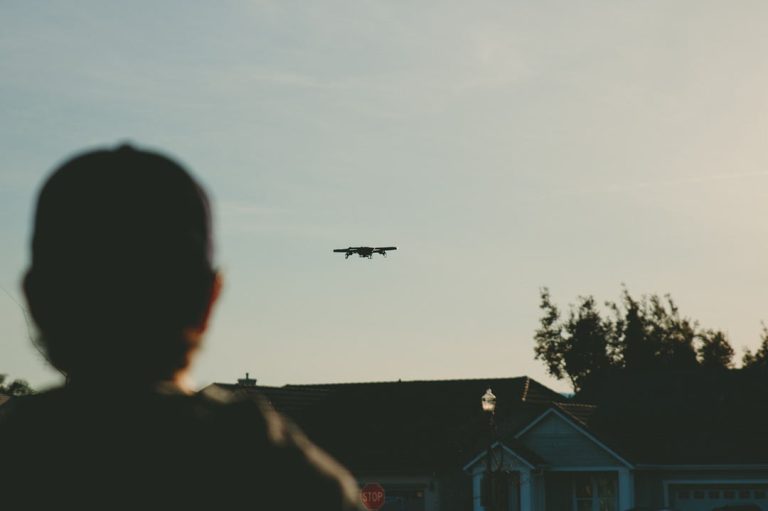
Wondering if you can fly over someone's backyard? This guide dives into the legalities of drone use over private property in the US, explores state-by-state variations, and equips you with best practices for responsible flying.
GPS technology has brought a new level of precision and reliability to drones, making them more capable and versatile than ever before. By integrating GPS, drones can navigate accurately, return to ho
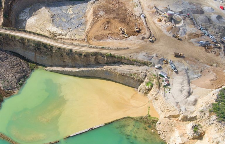
Tailings are the by-product of several extractive industries, including those for aluminum, coal, oil sands, uranium, and precious and base metals.These aren't simply leftover rocks; they're a complex
If you're already using drones for surveying, you might have stumbled upon the term "ground sample distance" (GSD).This isn't some technical jargon – it's the secret sauce behind capturing incredibly

JOUAV Product News and Use Cases
Fixed-Wing VTOL Drones Insights and Industry Trends
Invitations to online demo events